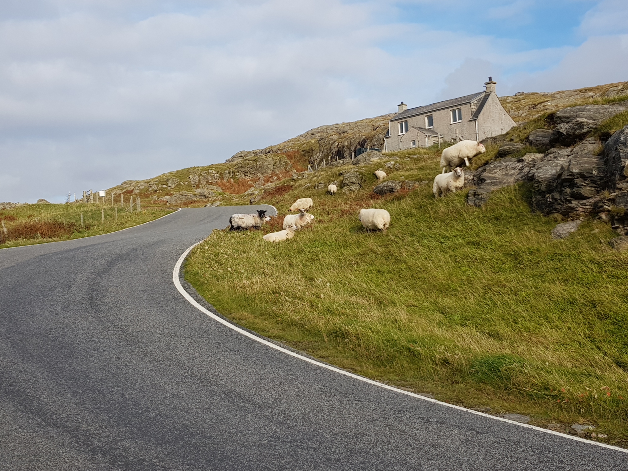
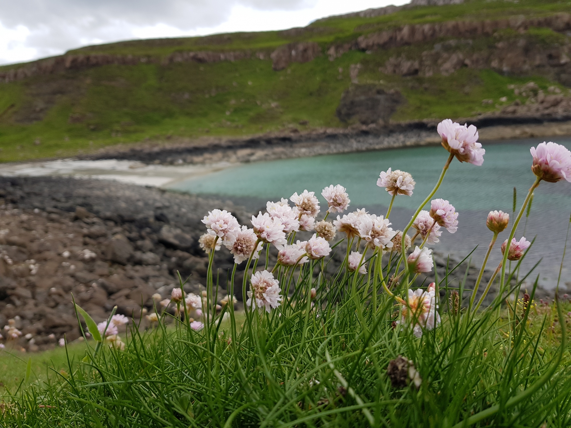
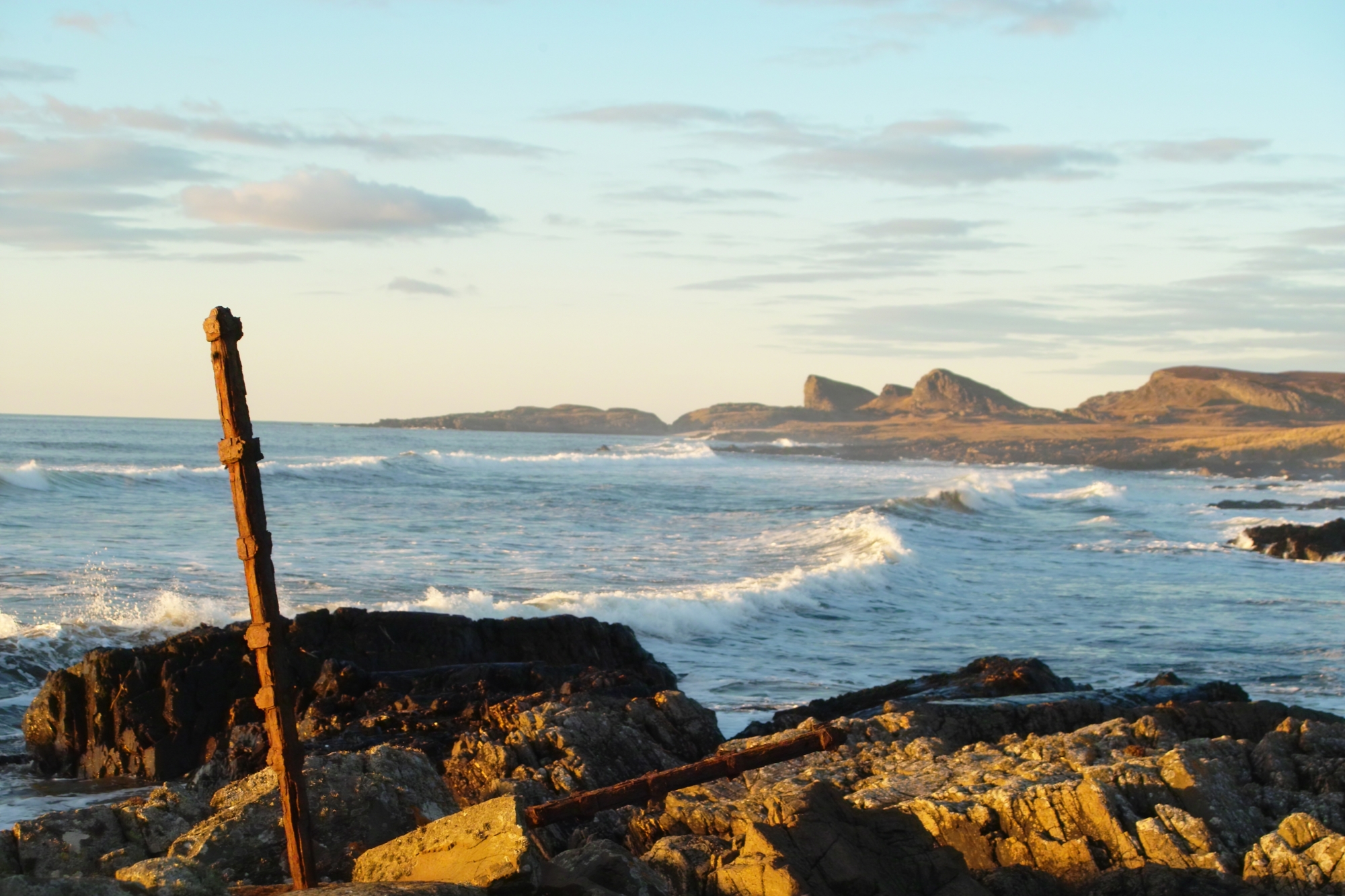
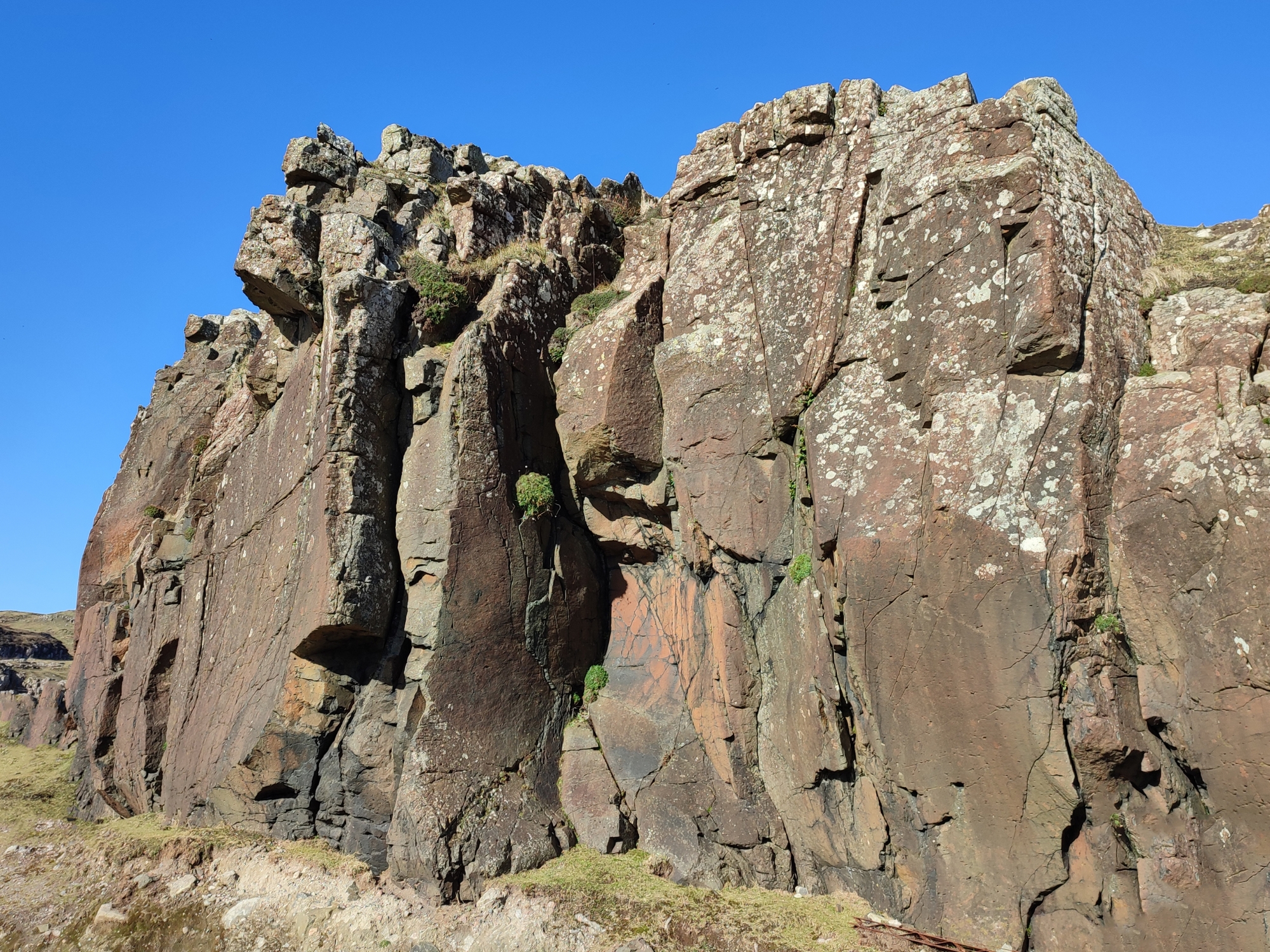
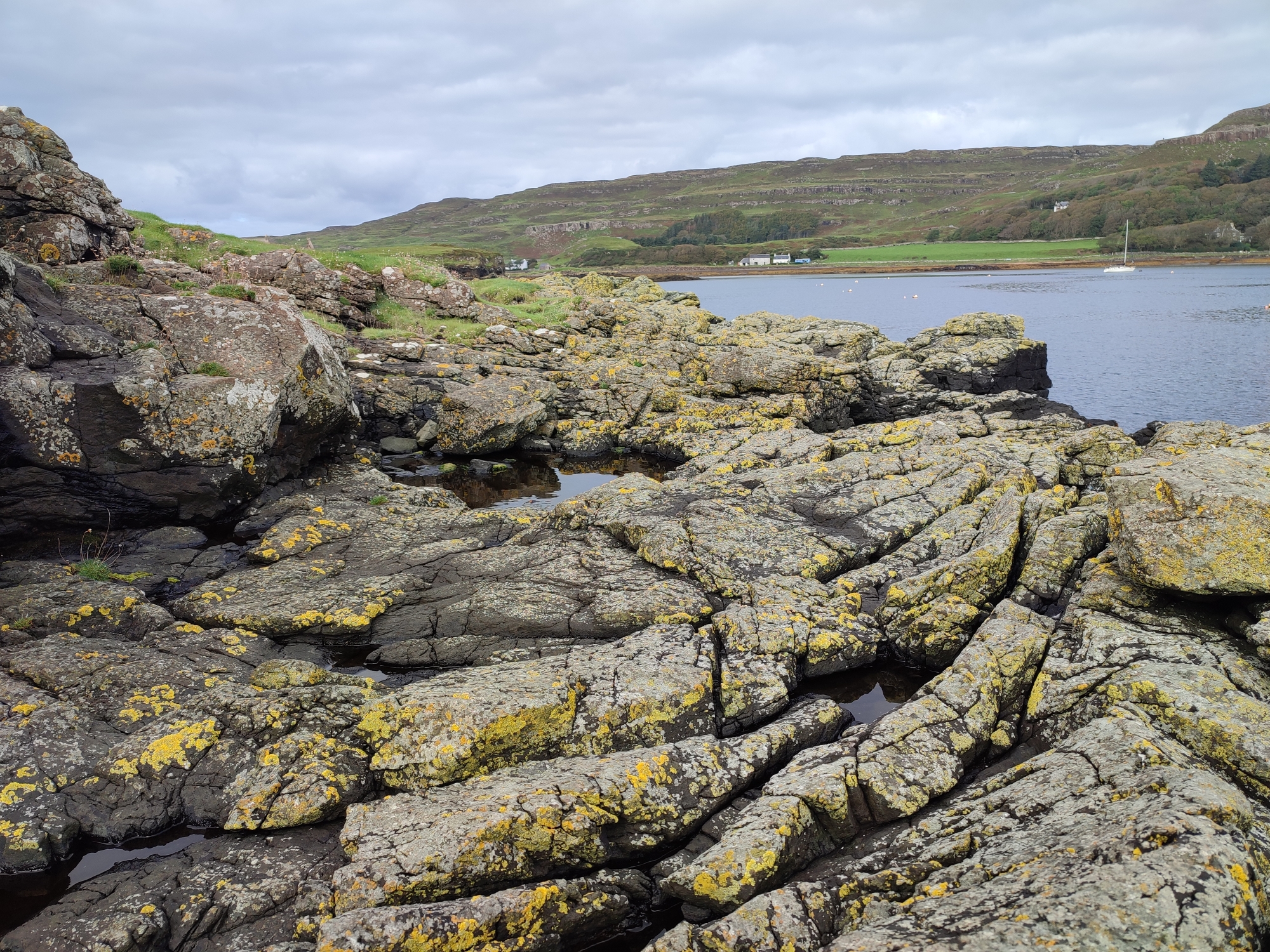
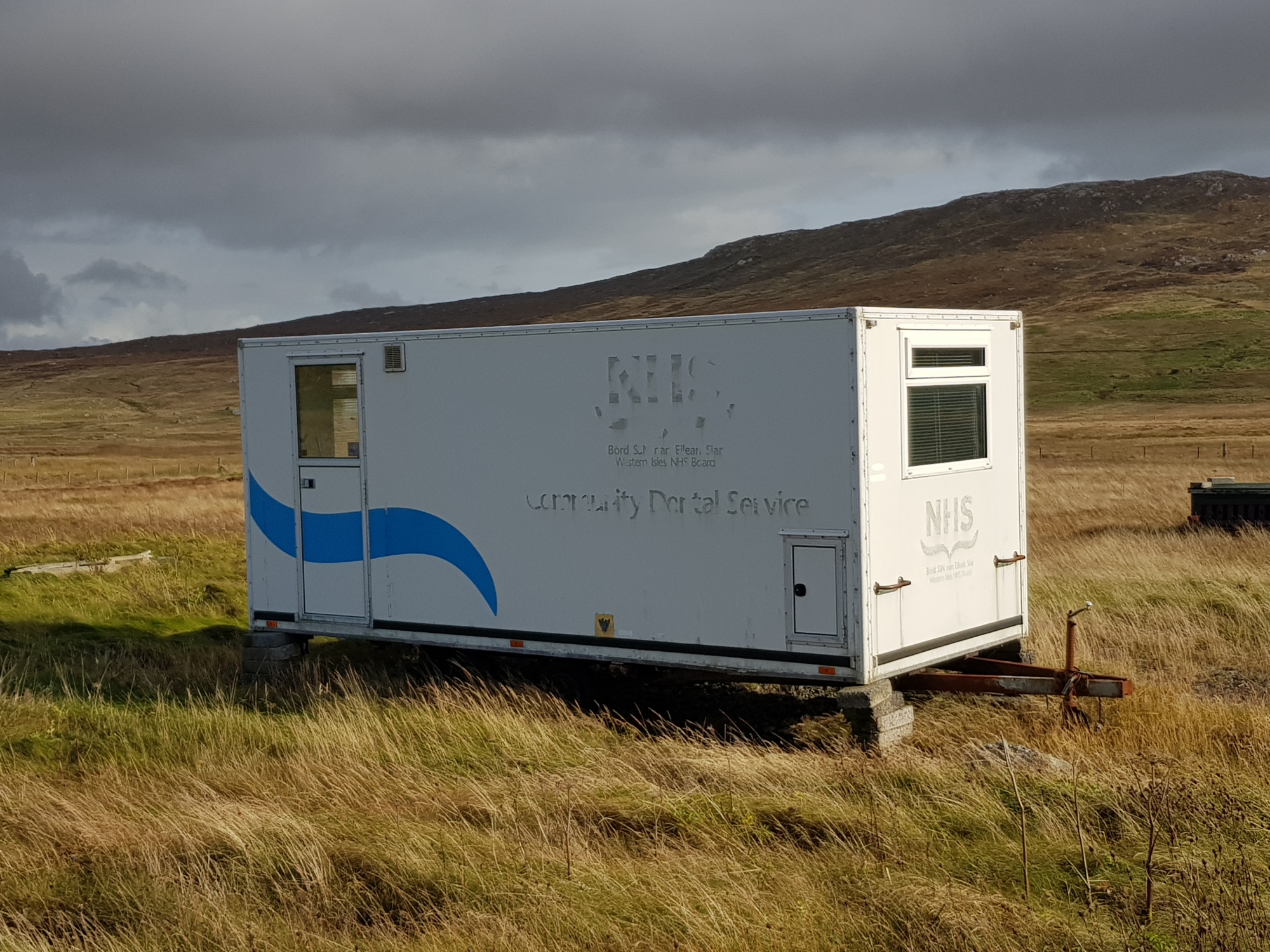
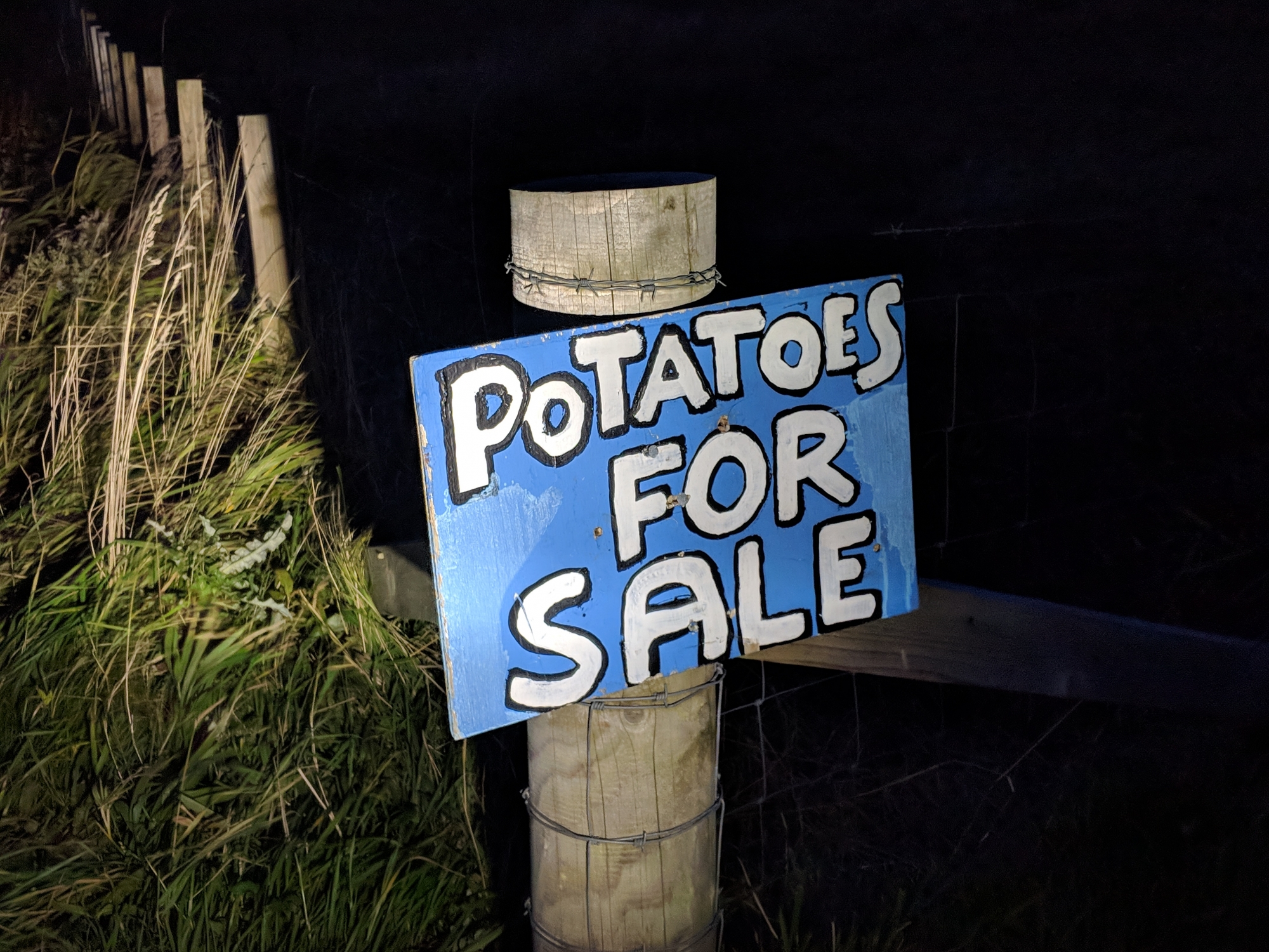
You see, I really love islands – especially the Hebrides. There’s something about the west coast of Scotland – the wild weather, the white-sand beaches, the wildlife – that when combined with a CalMac journey (and the sense of isolation that brings) creates a wonderful whole. I feel at home on an island – I suppose that’s because I literally live on one, albeit a rather large one. But the sea is never far away on a Hebride and you never know what’s going to get blown in, or if you’ll even make it on or off the island. After visiting my 13th inhabited Hebridean island, I thought it was high time I put in some research into them – how many are there? How many people live on them? And just how can I visit them all?
Everyone loves a round number, so I was particularly pleased that this challenge involves visiting exactly 50 inhabited Hebrides (the ‘InHab50’). The ‘A-Z’ is a B-V, from Baleshare off North Uist to Vatersay, south of Barra. There are islands with one occupant (Danna, Eilean dà Mhèinn and Soay) all the way up to the 21000+ on Lewis and Harris – and as the census data is from 2011, one job will be to check if they’re all still inhabited!
You can explore each one via this map and sortable table:
* These islands are known to be populated but their resident populations weren’t counted in the last census. After visiting Fraoch-Eilean, I’d estimate it has ~7 households, which using the neighbouring Grimsay’s stats as a guide, would equate to ~15 people [as these households were most likely combined into the numbers for Grimsay (N) in the census, Grimsay’s true figures will be this many fewer].
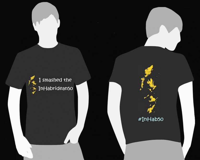
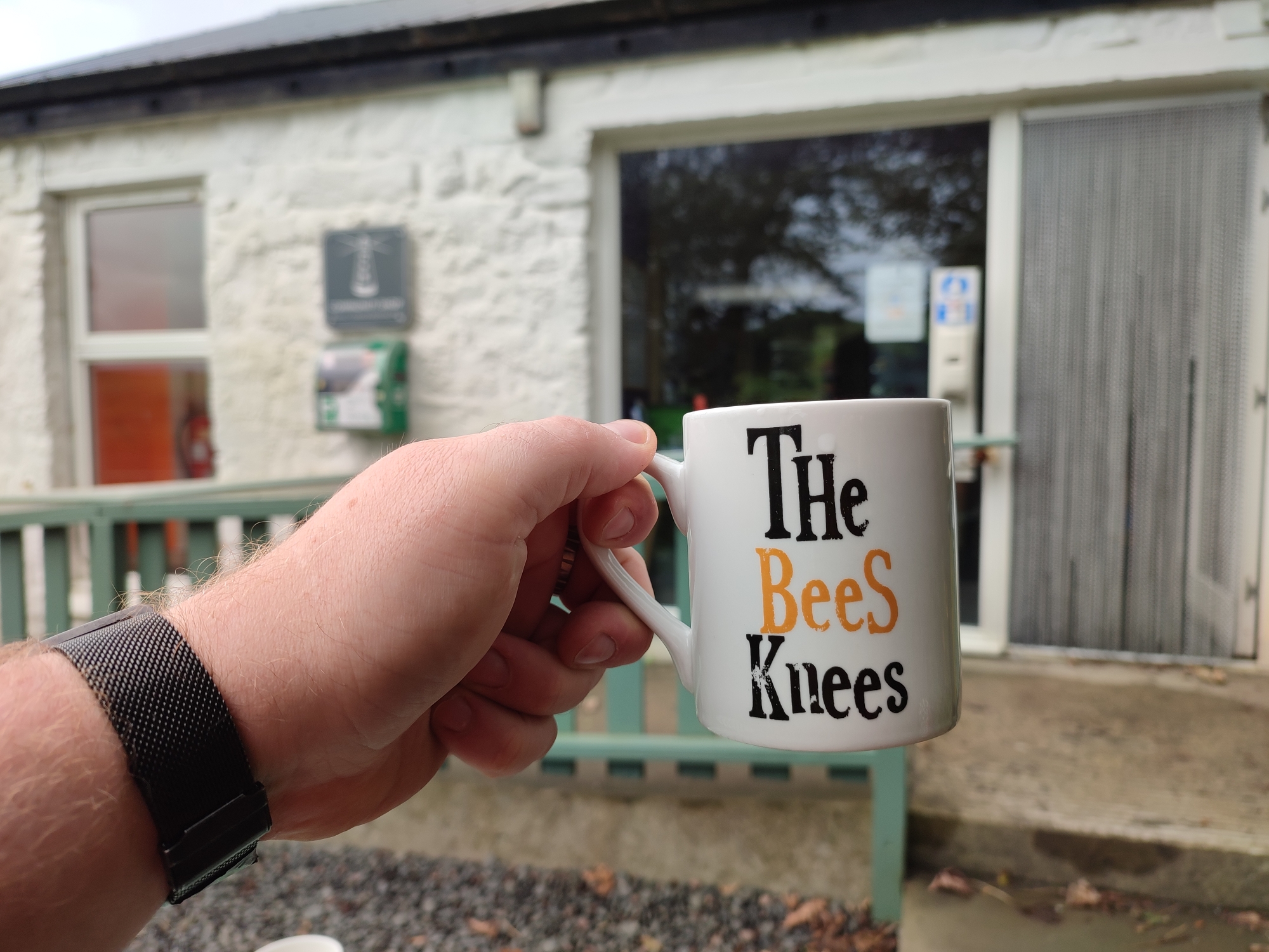
All you need to do is visit each one of the ‘InHab50’ and check if anyone’s home. I doubt there are too many people who can already lay claim to visiting all fifty, but anyone who can prove so will become an honorary President of the challenge. And of course, anyone who completes all 50 in the future will be welcomed into the club – and get a sweet t-shirt that totally exists and wasn’t just made in MS Paint…
One day this imaginary apparel could be yours!
Data
A few different sources were needed to create a nice, connected dataset. The 2011 Census, National Records of Scotland (NRS) and Wikipedia had enough info in them to create a decent spatial dataset, with a few fixes: Fraoch-eilean needed to be split from Grimsay (North) in the NRS data, and Eriska wasn’t included so had to be digitised and added. Finally, there was some confusion around Eilean Tioram, which the NRS data showed to be in Loch Gairloch and not the site of Castle Tioram (in Loch Moidart) as many resources presume. The correct site is referenced as ‘Dry Island’ on most maps (from the meaning of its Gaelic name), but OS goes with the Gaelic for both sites, hence the confusion – but, taken with a pinch of salt, it’s now its own country.
Habitation data for the 2011 census came from this NRS Islands PDF.
Hebridean island lists (and some supplimentary population info) came from these two lists on Wikipedia.
Island names, gaelic names, locations and statistics were QAed from the above resources and a merged CSV file was created with any corrections included.
Spatial data came from this NRS Islands shapefile from this website. It was then was modified, added to and linked to the CSV data to create this GeoPackage file (can be opened in a GIS). Areas and population densities were then calculated from these polygons, which were then simplified for display above.
I’ve tried to pepper a few Gaelic words and placenames throughout this page as you’ll regularly hear the language spoken on many of the InHab50 list. Although the number of speakers has dropped considerably, the Outer Hebrides still have more than half the population speaking Gaelic in most areas. So, in that vein, I thought it was high time I got a basic grasp on it:
Sea Room by Adam Nicolson – An evocative account of life on a partially inhabited Hebridean island
As the Women Lay Dreaming by Donald S Murray – A fascinating novel based on the events of the HMY Iolaire disaster off Lewis
Love of Country by Madeleine Bunting – A somewhat floral account of a six year exploration of Hebridean landscapes and history
Island Years by Frank Fraser Darling – The life of an ecologist & ornithologist living and working on Eilean A’ Chleirich, Lunga, & (N) Rona in the 1930s, with his later crofting experience on Tanera Mòr mostly documented in the Island Farm
The Summer Isles by Philip Marsden – Exploring a rich tradition of myth, poetry and the ancient in travel writing that blends the imaginary and real
The Scottish Islands by Hamish Haswell Smith – somewhat of a travel Bible (especially for sailors) but loads of detailed info for all the InHab50
The Small Isles by John Hunter – A surprisingly comprehensive guide to the history and culture of these islands
British Pathé – Missile Firing 1961 – An insight into the working of the (still-present) MOD Firing Range based on South Uist, Benbecula & St Kilda
An t-Eilean/From Skye with Love – This series is a great way to explore the culture and communities on the Hebrides (see more, below). In Gaelic, with English subtitles.
Iorram (Boat Song) – A beautiful film about the lives of people in the Outer Hebrides, with music and stories from archived recordings [clip here]. In Gaelic, with English subtitles.
Dùthchas | Home – A poignant exploration of what it meant for people, especially women, to leave the island of Berneray [BBC Alba]. In Gaelic/English, with English subs.
Maid of Luing (1969) – A short video looking at the ferry to Luing, and the cattle, slate-working and song of the island.
Tir Is Teanga – The language & landscape of Skye, North Uist, Lewis & Harris – in Gaelic, with English subtitles.
Puirt-adhair/Highland Airports – Lovely programme exploring the people and logistics surrounding Scotland’s remote airports. Plenty of Hebridean scenes, in Gaelic, with English subtitles.
The Western Isles – A look at the fishermen, farmers and weavers of Harris Tweed as they fight Atlantic gales in the Outer Hebrides [1941].
Beagan Gaidhlig / Gaelic Lesson – Follows a day in the life of Dolina MacLennan as she visits people and places in Lewis [1971]. Gaelic commentary with translation.
Speaking Our Language – A very retro Gaelic learning show, but lots of nice footage of the Hebrides at the time. Some great shell suits!
Prince of Muck – A documentary film that focuses as much on interpersonal relationships and old age as it does with island life – it has an excellent pace and atmosphere
Webcams
Coralbox Webcams, Berneray – Two live (one panning & zooming) webcams looking out over the sea to Harris
Calum’s Road (Radio Play) – A dramatisation of this famous story from Raasay, starring Ian Diarmid (warning: it’s painfully Radio 4 at times!)
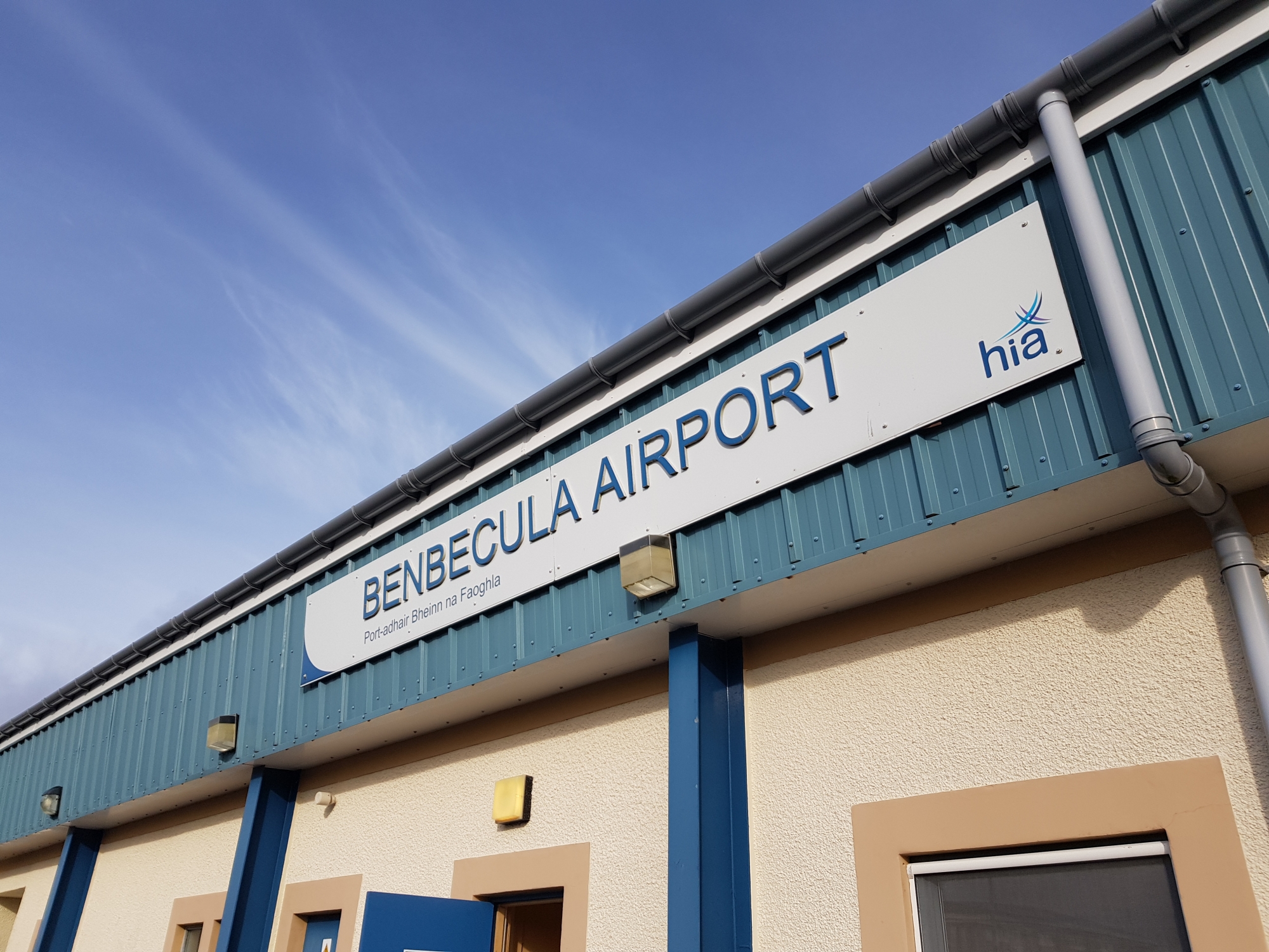
After watching planes land at Benbecula Airport, it was fun to recreate in Microsoft Flight Simulator 2020.
Future Changes
Scotland has just undertaken the 2022 census (delayed from 2021), meaning an updated list of inhabited islands will be made available at some point in the future (the last list wasn’t published until 2013, so probably 2024 at the earliest). Here’s what I think it will mean for the current state of habitation in the Hebrides and how it will affect the InHab50 list in the future:
Are there likely to be any changes?
Almost definitely. There are 10 islands on the InHab50 list that had 2 households or fewer present when the 2011 census took place. Not only could they have seen changes in the last eleven years, but whether there is a household present at the time of the census is what dictates the official population. There may have been last time but not this time, or vice versa, irrespective of whether people ‘normally’ live there. From what I know about those 10 islands, I’d say most of them are susceptible to change on the official record, with the most likely direction being towards 0 population. There could also be islands that have become populated between the censuses, it will just depend on whether that includes any main residences – I’d expect at least one (see below).
Will the InHab50 list change?
Sort of. I’m still intending to visit the original list, but I’ll likely prioritise those that are still populated. Any additional islands will form a ‘bonus list’ to start with, with a combination list a likely eventual outcome. It’s worth noting 2 islands were included on the InHab50 list that had 0 population recorded in the 2011 census (Eriska & Fraoch-eilean) as there was good evidence of (mostly) permanent population, which has since been verified by visits. The 2022 list will be similarly researched and verified, which might involve visiting them all to check anyway!
Eilean Fladday & Shuna Island could one day make the list…
Any likely candidates for the future?
Yes, but to varying degrees. Whilst visiting the current list, I’ve heard of likely islands that should / might make the list – I’m sure there are more, but so far these include:
Eilean Fladday, Raasay. It won’t make the 2022 census, but I believe 3 houses are being renovated / built here and could well become residences – Raasay is undergoing a resurgence so it would make sense (Eilean Fladday is accessible from Raasay at low tide).
Handa Island, Sutherland. The island is managed by the Scottish Wildlife Trust, who station a Ranger there (and volunteers) over the summer months. This will come down to how ‘resident population’ is defined and who was there during the census period.
Inch Kenneth, Mull. When I was on Ulva I was told the grand house was being developed as a hotel – it could just be a local rumour, but it’s one to keep an eye on.
Shuna Island, Loch Linnhe. A Lismore resident said it had been owned and regularly inhabited by a Dutch family since around the time of the last census (it was put on the market in 2012) – it may or may not make this census, but it should probably make the list.
I realise I’ve sat on the fence a bit with those answers, but that’s as much to do with how the census works as it is about what’s true on the ground. I’m confident the true story will be a combination of some loss of island population and some newly-populated islands, with the new total probably ending up slightly lower than our current list of 50. I will be very happy to be proven wrong though!
Hebridean Visits
I’ve comfortably crested the halfway point now, having been to 39 of the 50, so gradually getting there – trips are soon to get a lot harder though, as the islands get more obscure… I’ve managed 9 total as of 2017, 2 more in 2018, 12 in 2019, 2 in a COVID-19-hit 2020, 8 in an impacted but easing 2021, 5 in 2022 and 1 more in 2023. I’ll be adding to the list each year, but for now, may a new Hebride be in my pocket shortly…
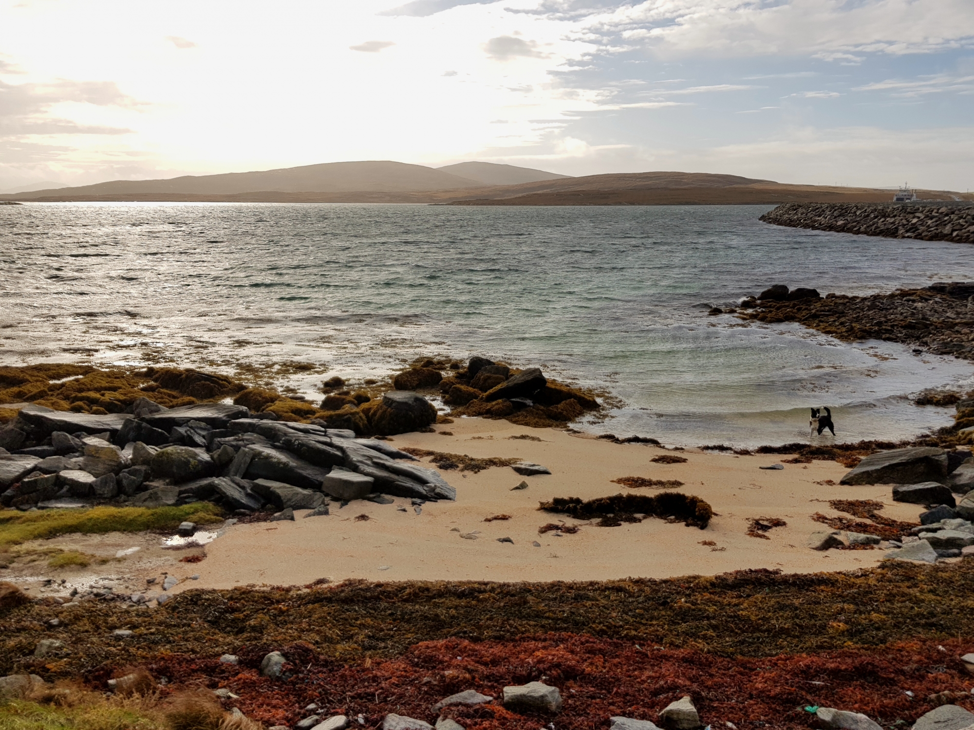
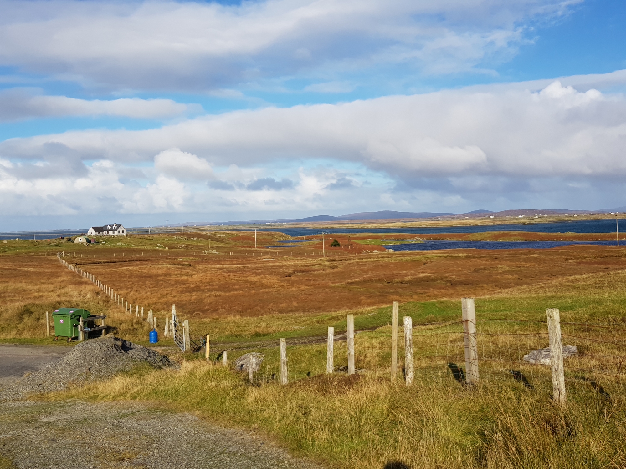
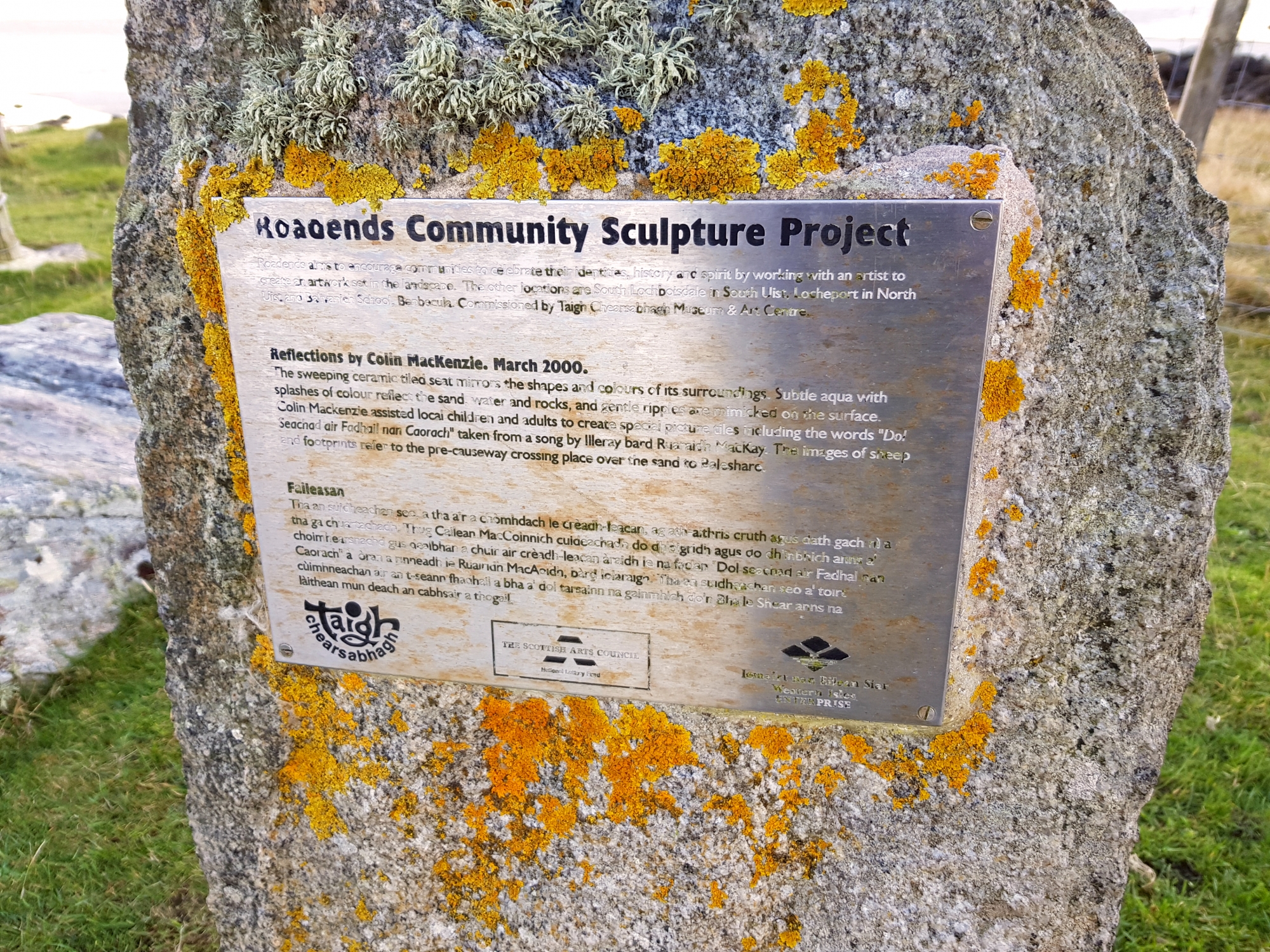
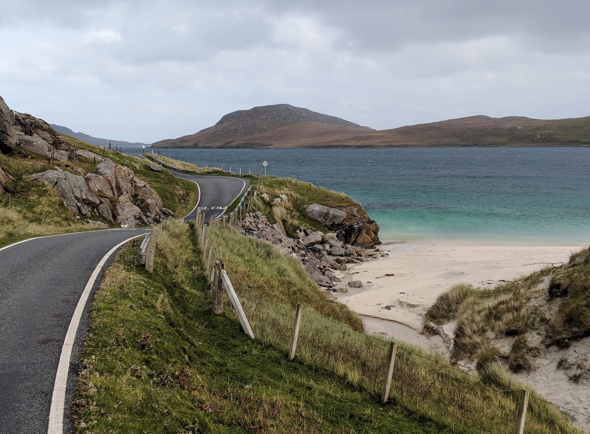
Baleshare Am Baile Sear ⛴ 2019👪︎ 58🏠︎ 21
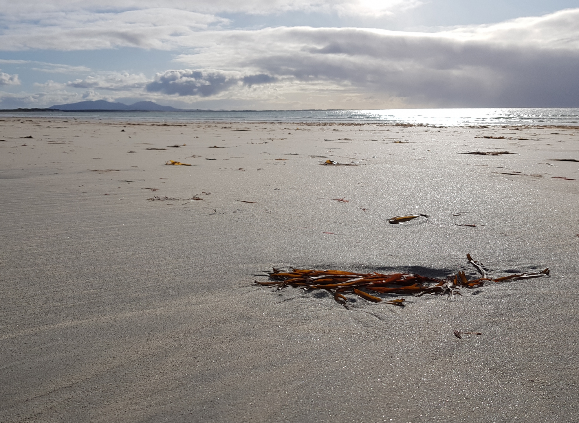
Baleshare isn’t the most obvious of islands, its flat expanse easily reachable by foot at low tide and with 3 sides close to the ‘mainland’ (North Uist). In many ways it could be described as a big farm with a big beech, sheep and cattle pockmark the grassland leading to a white sand beach running the full length of the west coast. Its Gaelic name translates to ‘east town’, leading many to speculate there was previously land to the west, and echoing Father Ted, it was washed away in a storm. Looming straight out to see, commanding views of the Monach Islands, which were perhaps accessible by foot from Baleshare as late as the 17th Century. Fun fact: the island has no contours on the OS 1:50000 map.
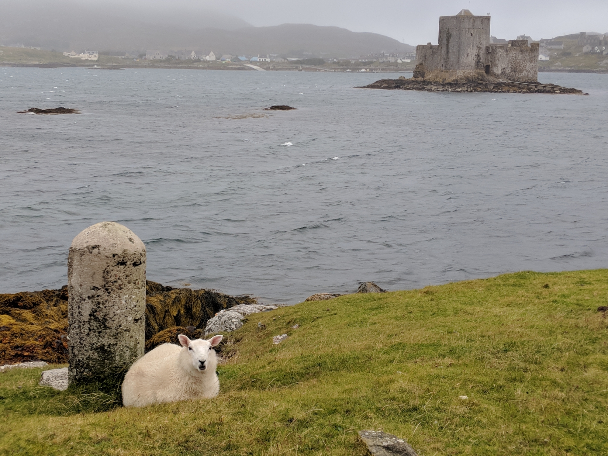
Barra Barraigh ⛴ 2018👪︎ 1174🏠︎ 549
Barra was a delight, albeit a wet & wild one. Tiny pockets of good weather were taken advantage of, with visits up to the beach airport and across to Vatersay (see below). Just walking around Castlebay was rewarding – it feels like a bit of a hub (in Outer Hebrides terms), with a supermarket, museum and a community shop. You can’t help but fix your eyes on Kisimul Castle, a potentially-inhabited island but no residents in the last two censuses – no boat trips nor lights at home during my October visit either.
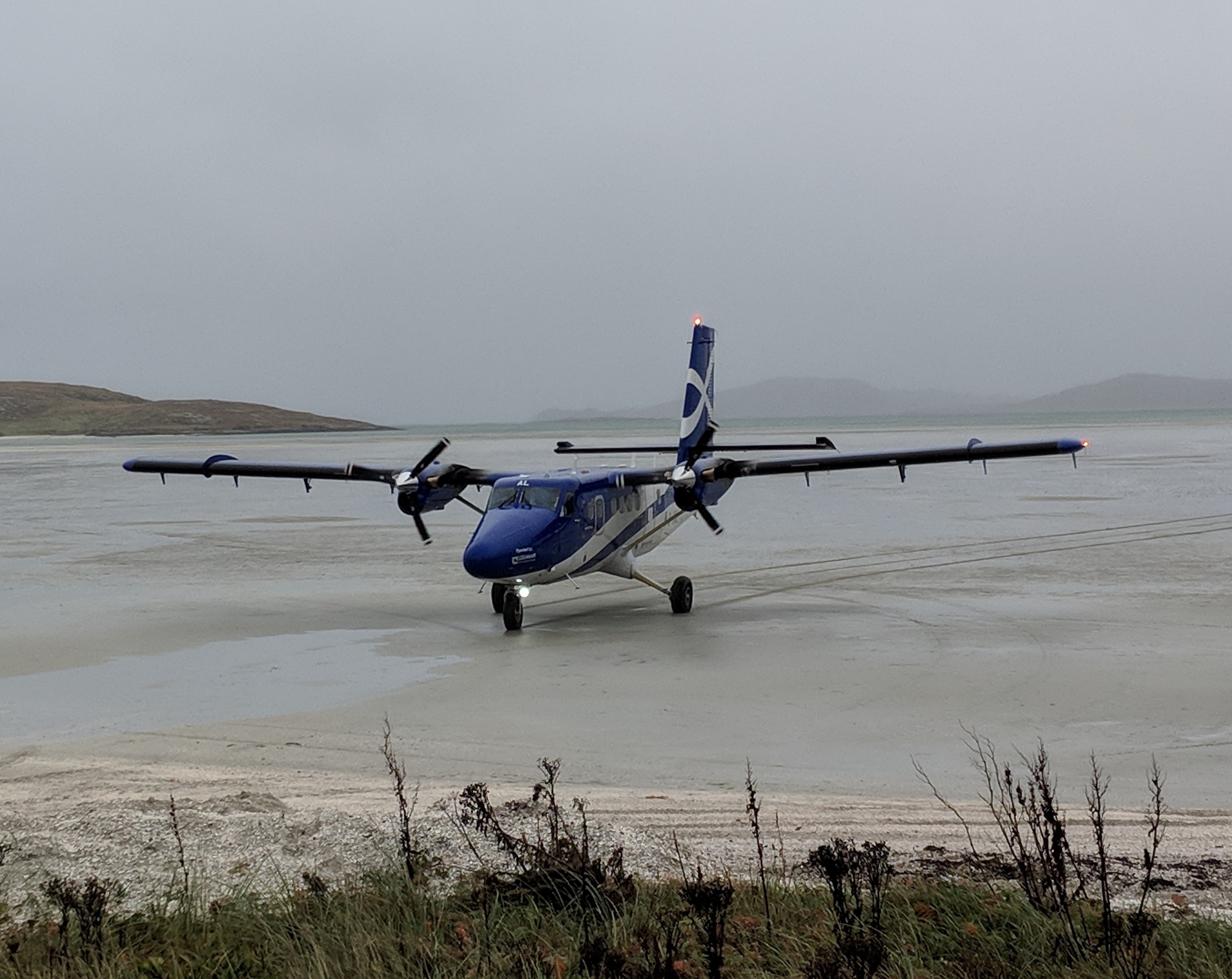
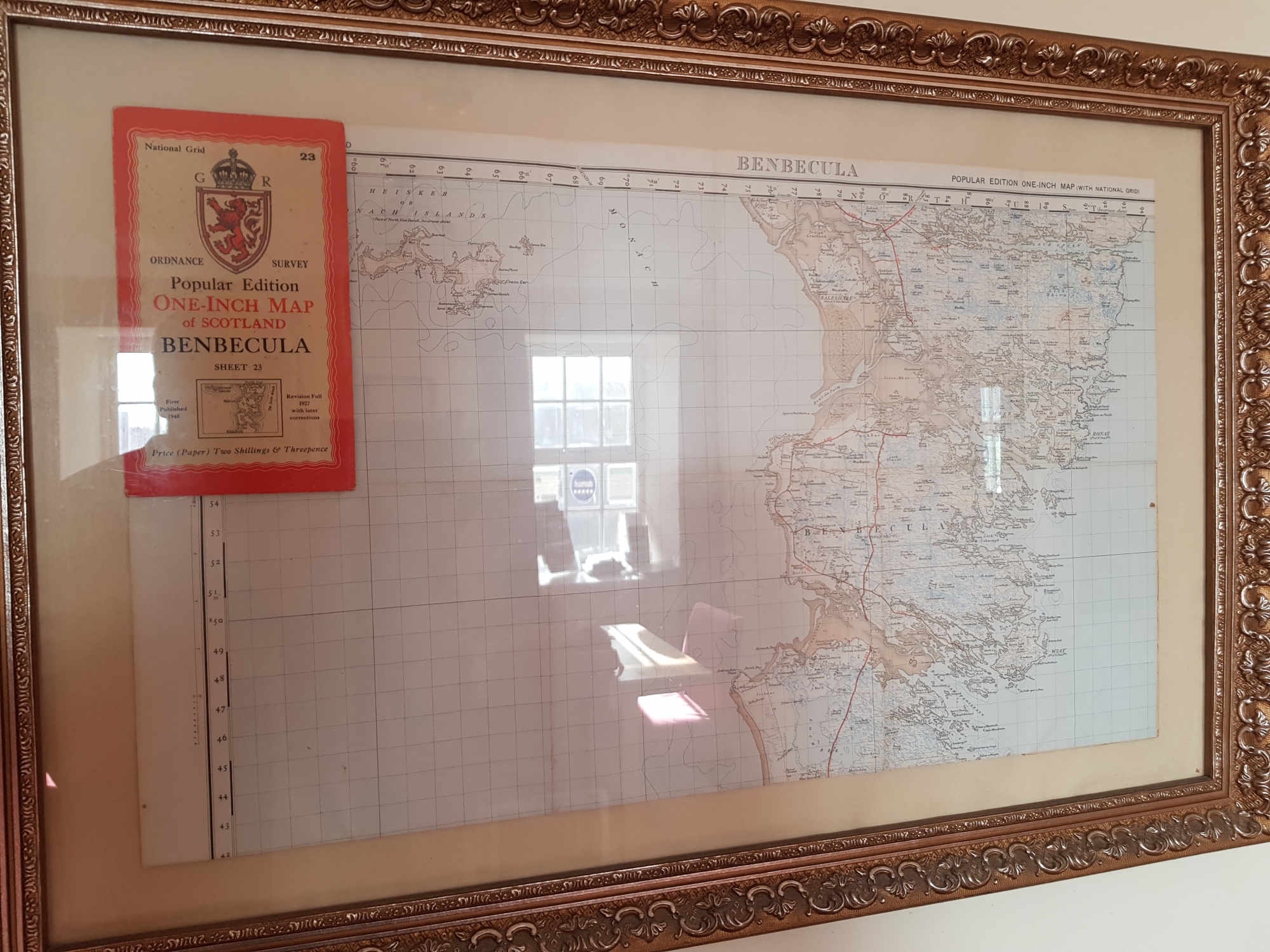
Benbecula Beinn nam Fadhla ⛴ 2019👪︎ 1303🏠︎ 577
Benbecula turned into a hub for exploring nearby islands – there are lots nearby and connected – so it felt like home after a few days. If you just pass through the island you might not think much of it, but the ‘Spine Road’ bypasses Balivanich, which is the most-populated town in the Uists. It hosts the West Camp of the RAF’s Deep Sea Range and as such, seems much more like a mainland settlement than anywhere else on the Uists. Despite recent cuts, it still has the air of purpose-built military town – complete with water tower and airport, which serves all the connected islands. In the census it’s reported to be the least Gaelic-speaking place for many miles, but lots of Gaelic was overheard in the Supermarket named after the historically-dominating Clan. It’s a fascinating ‘hub’, if anything on the Outer Hebrides can be called as such.
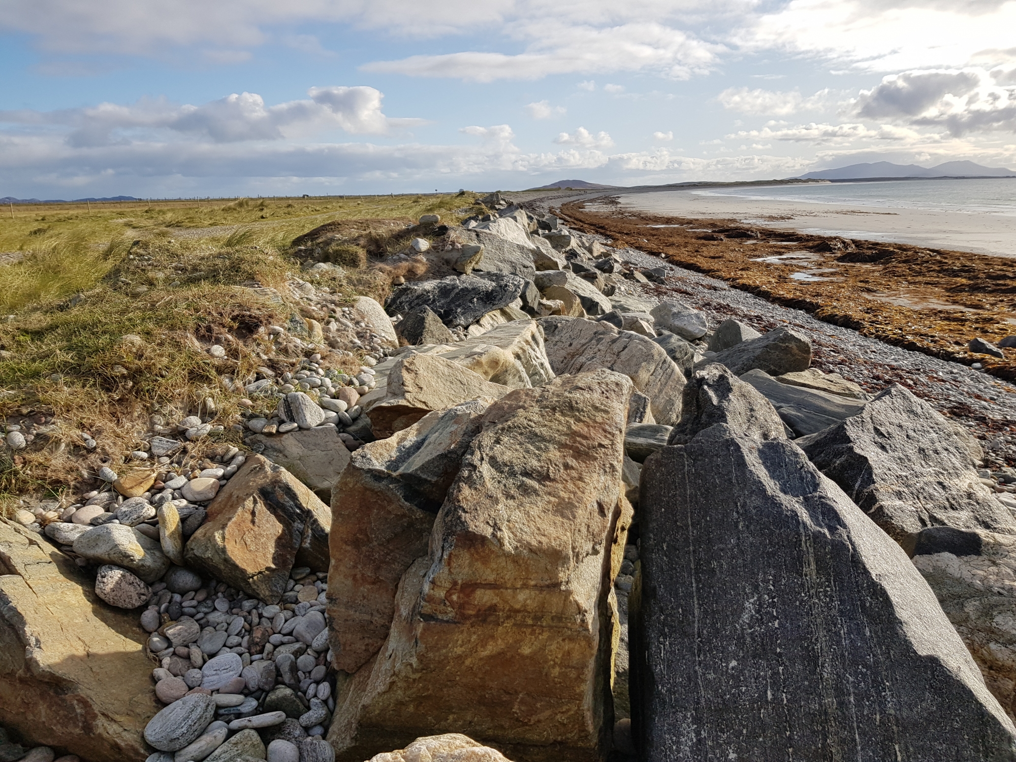
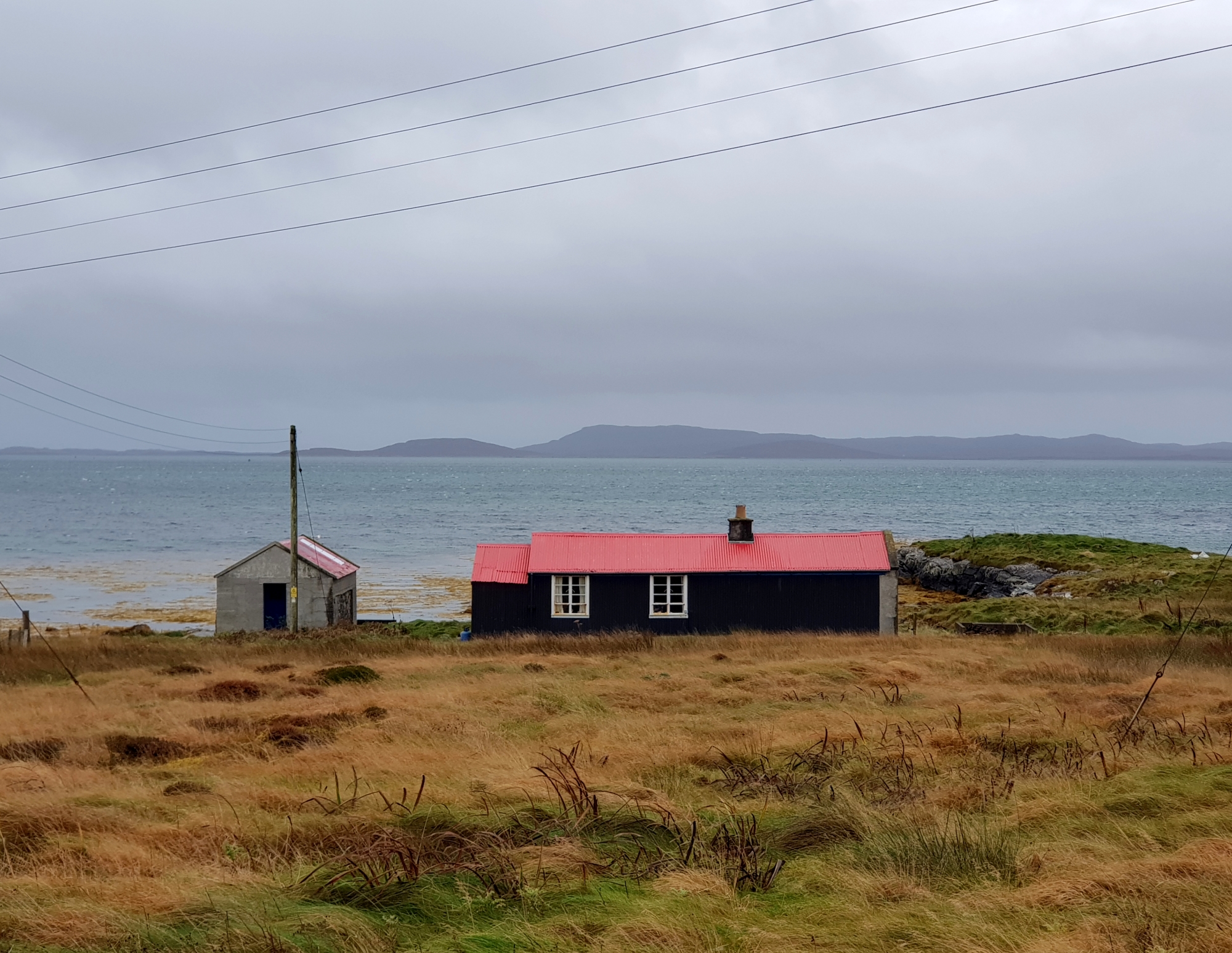
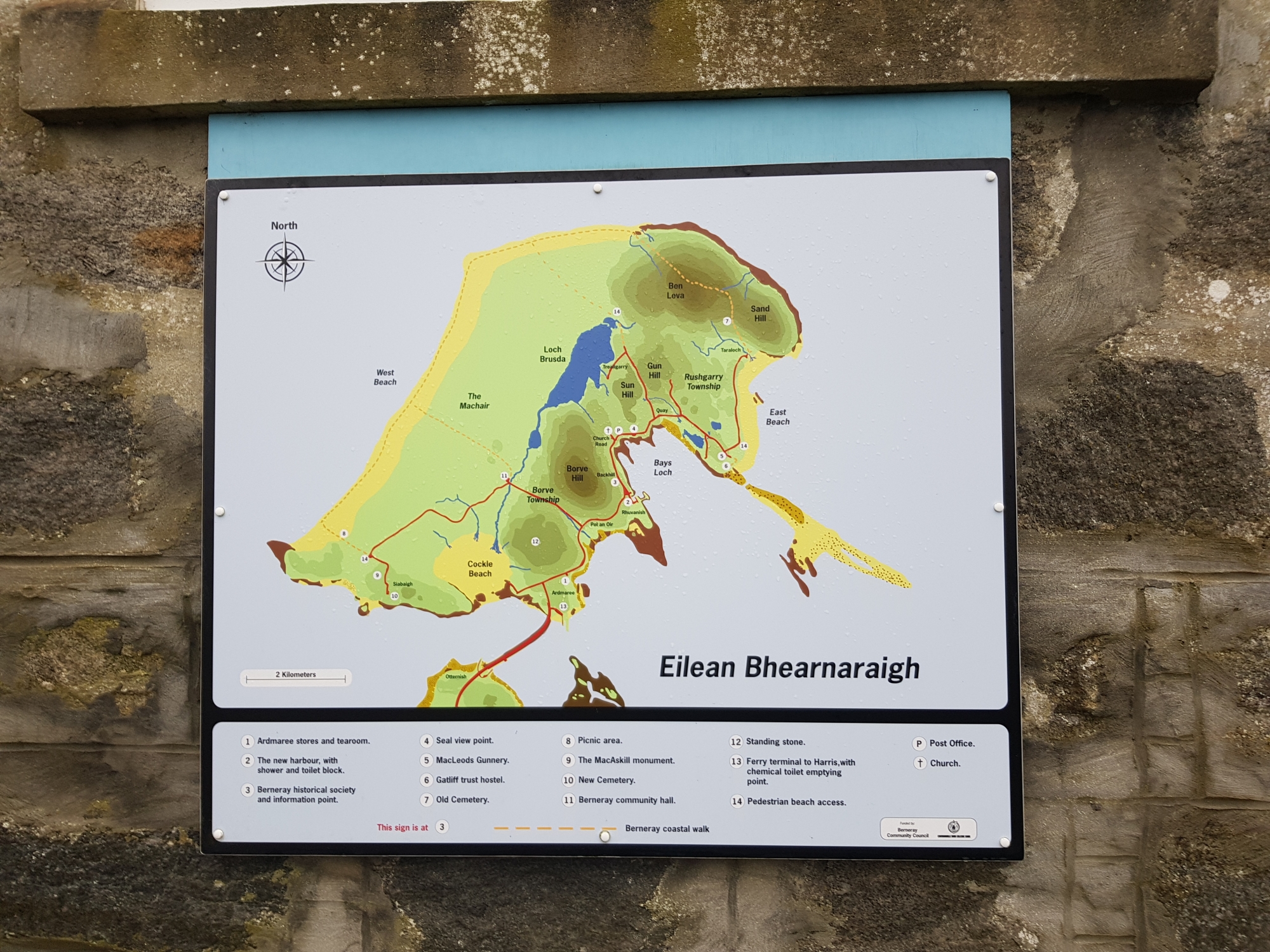
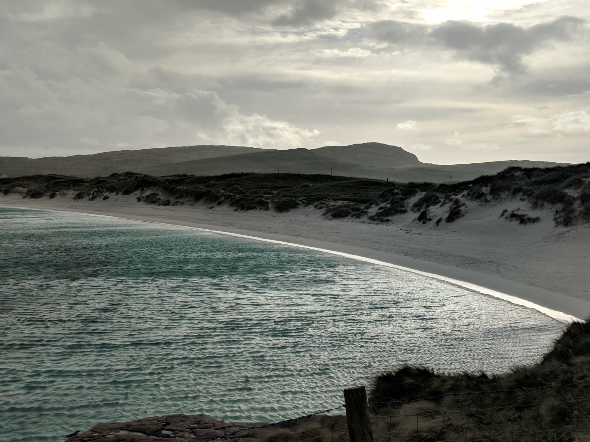
Berneray Beàrnaraigh ⛴ 2019👪︎ 138🏠︎ 82
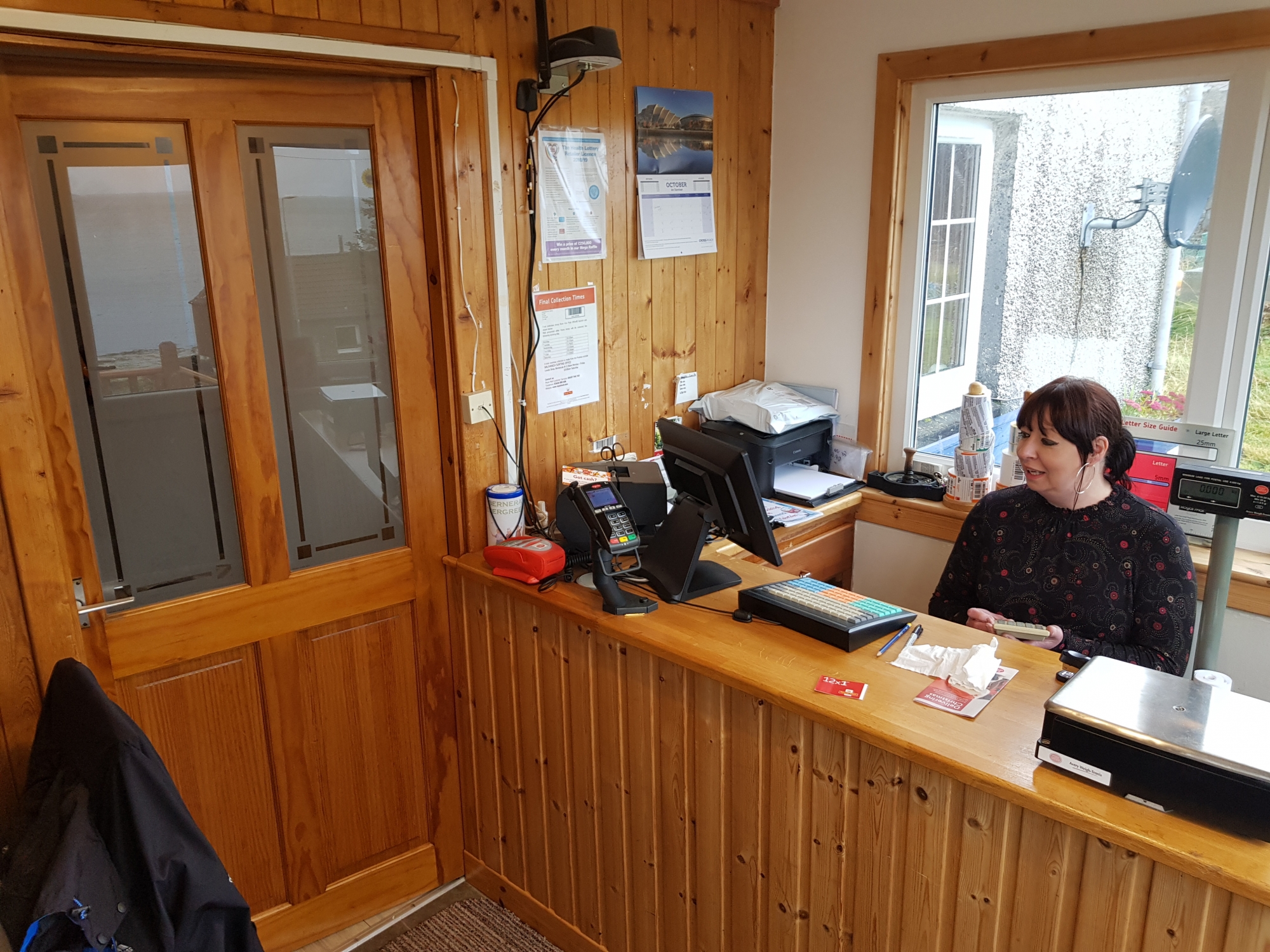
Most famous for its spectacular West Beach, Berneray has a lot more to offer. Staying at the Gatliff Hostel, I got the opportunity to intereact with a few locals, and I got a good picture of the recent history. Before the causeway was built, it was apparently a bit rogue, but now it relies reasonably-heavily on tourism and Amazon deliveries – things that might’ve seemed a bit unlikely 20 years ago! The aforementioned beach is a total spectacle, but the residents on the east shore make the place – currently boasting a nice shop, restaurant, post office and daily links to Harris. PS The hostel is a ‘must-visit’, even in winter when I made it over.
Canna Canaigh ⛴ 2022👪︎ 12🏠︎ 6
This was my fourth attempt at getting to Canna, with a combination of Covid, train strikes and bad weather getting in the way before. This journey wasn’t without its complications, with the MV Sheerwater taking passengers over whilst the main ferry was being serviced, but it proved a glorious way to travel to the island with calm seas and rainbow-framed views of Eigg, Rùm and Skye. Canna is owned by the Scottish National Trust and we camped for the weekend at Canna Campsite – the pitch offering stunning views down over the watery sands to Sanday and across the Minch to the prominent Hyskeir Lighthouse. The island’s history and its people were recognisable from a recent coffee-table book, DVD and biography about its most-famous inhabitants (Margaret Fay Shaw and John Lorne Campbell) as well as a 2-part documentary on BBC Alba about the current residents and their lives. Most of the human activity exists on the sourthern shore of the eastern half of the island, from the campsite down to Coroghan Castle, but there was lots to see alone the way. Canna House sits above the shore in a delighful garden, which now provides veg for the café and shop, the latter an open-door, honesty affair which is well stocked for locals, tourists and sailors alike. Nearby, the early medieval cross is a stand out, and sits close to the ‘punishment stone’, where legends says locals had their thumb pushed into the 6ft high indent. Although the Gaelic archives were safely stored in temperature and moisture controlled metal crates whilst the main house is renovated, the wonderful Canna Gaelic map provided lots to chew on. As a storm approached and discussions at the dock turned to reductions in inter-island ferry services, we left the on the now back-from-service MV Lochnevis, which was promptly pulled from duty the following day due to engine trouble – it did its job for us though.
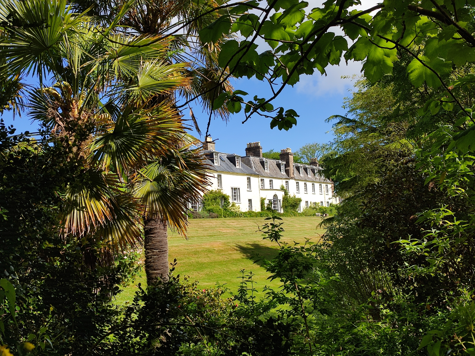
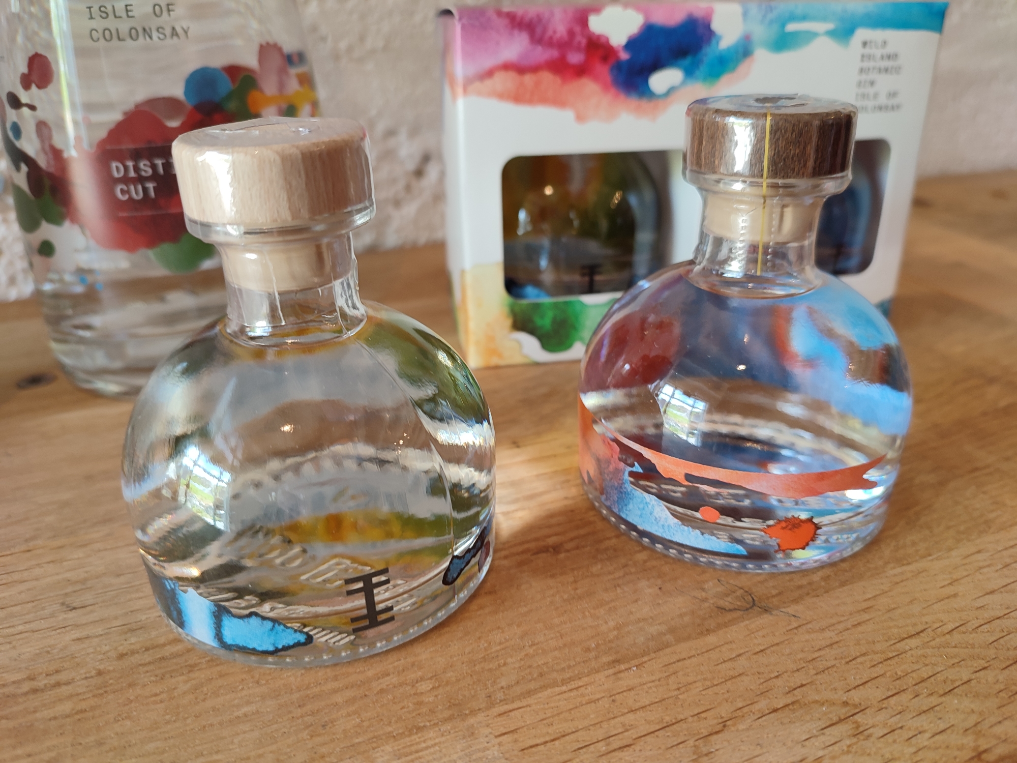
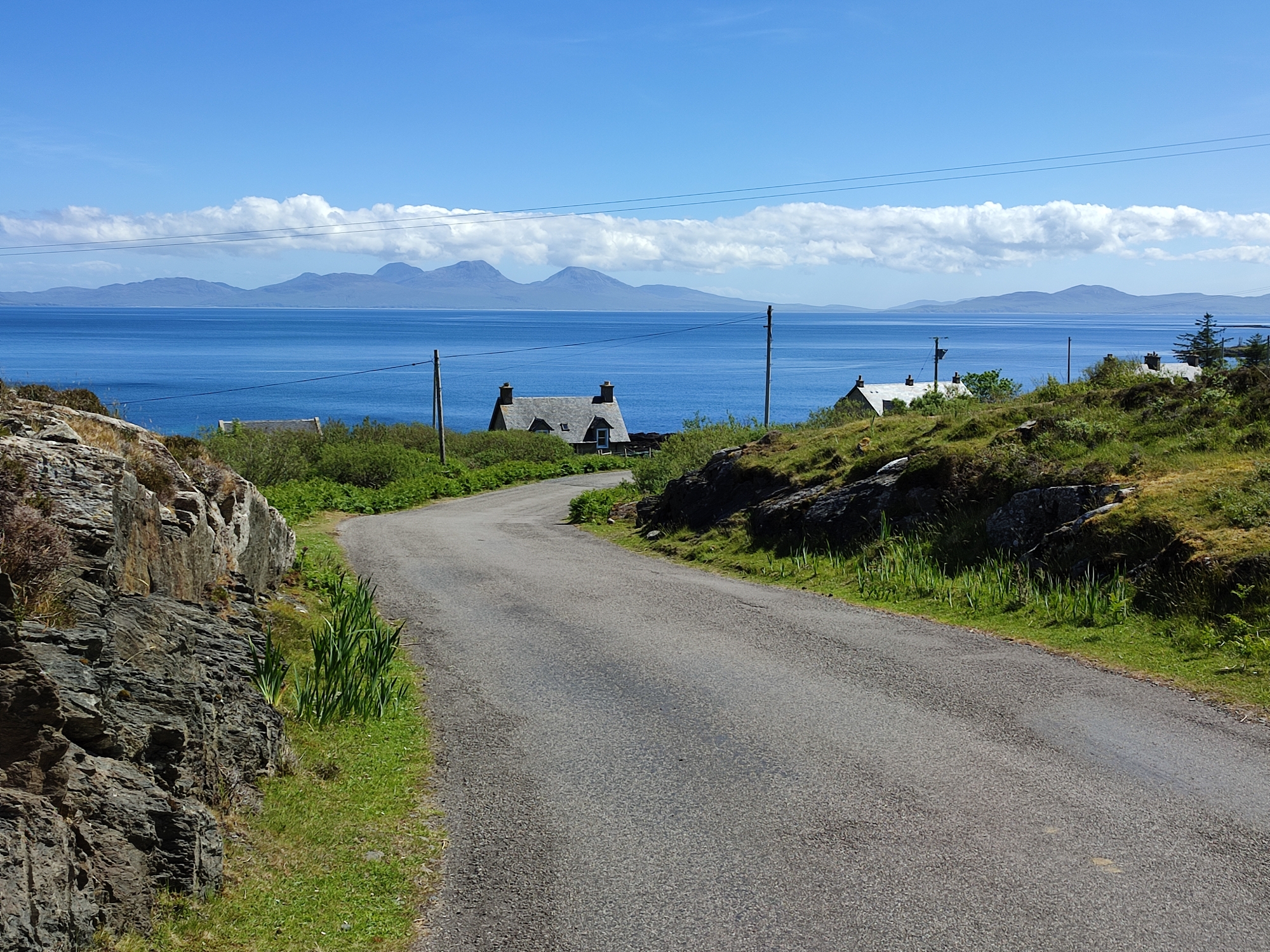
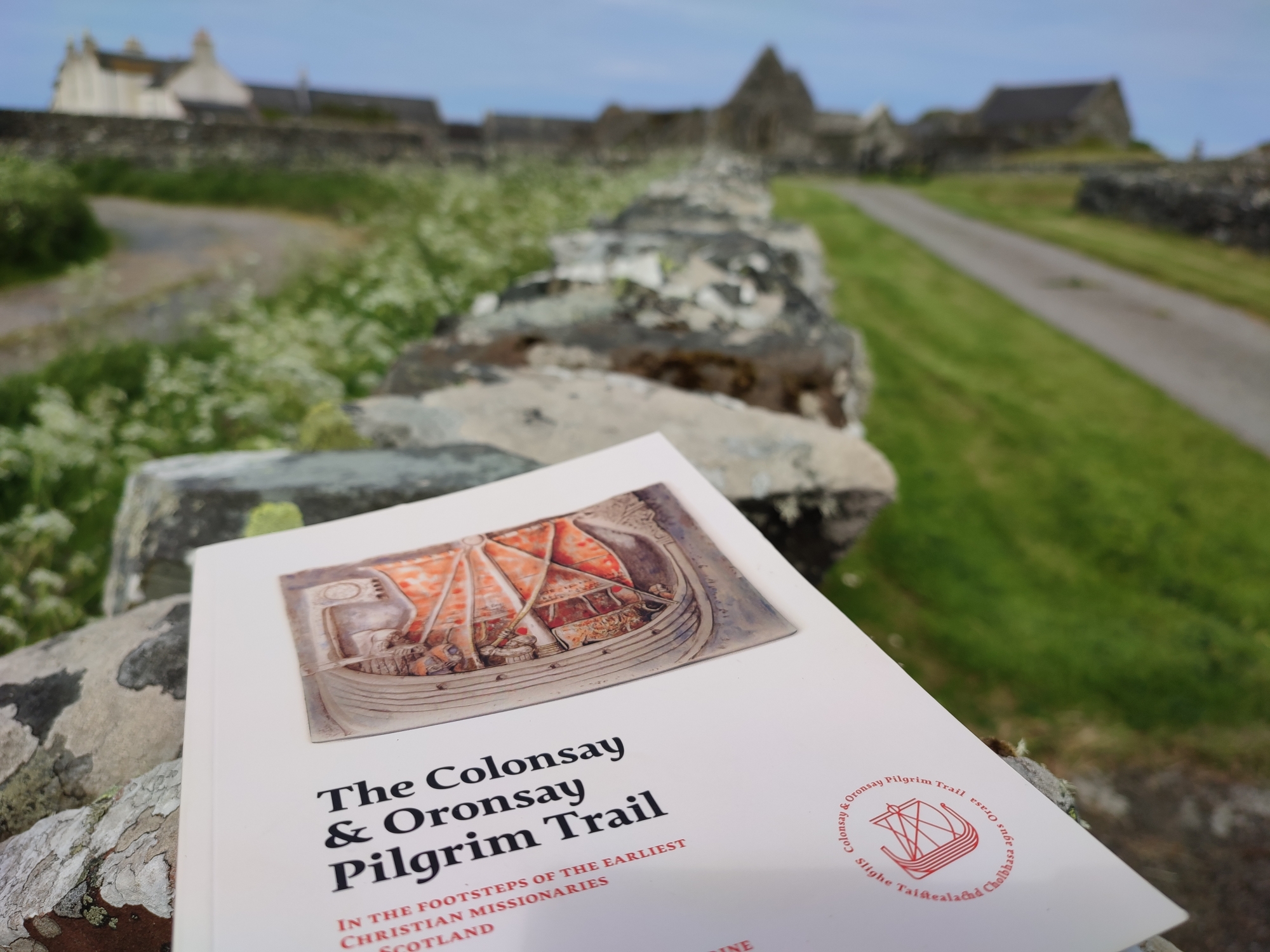
Colonsay Colbhasa ⛴ 2021👪︎ 124🏠︎ 70
Three nights on Colonsay allowed for a decent amount of exploration, both by foot and by bike. Despite arriving in slightly gloomy conditions, the sun shone from the next morning onwards. A wonderful walk (extended down to Kiloran Bay and the sight of a Viking ship burial) gave some great views across the island, including a 10 minute circling flight from a majestic Sea Eagle. The plant life got more exotic around the grounds of Colonsay House & Gardens, but the island in general is rich in flora and fauna. Colonsay Hotel provided a lovely beer garden and final evening meal, with great views down to the sea as Hen Harriers flew overhead. Scalasaig also has an amazing bookshop (open 3-5pm) with the best selection of Scottish / island / Gaelic books I’ve seen – well worth a visit, as is this small, yet surprisingly varied, island.
Coll Cola ⛴ 2018👪︎ 195🏠︎ 87
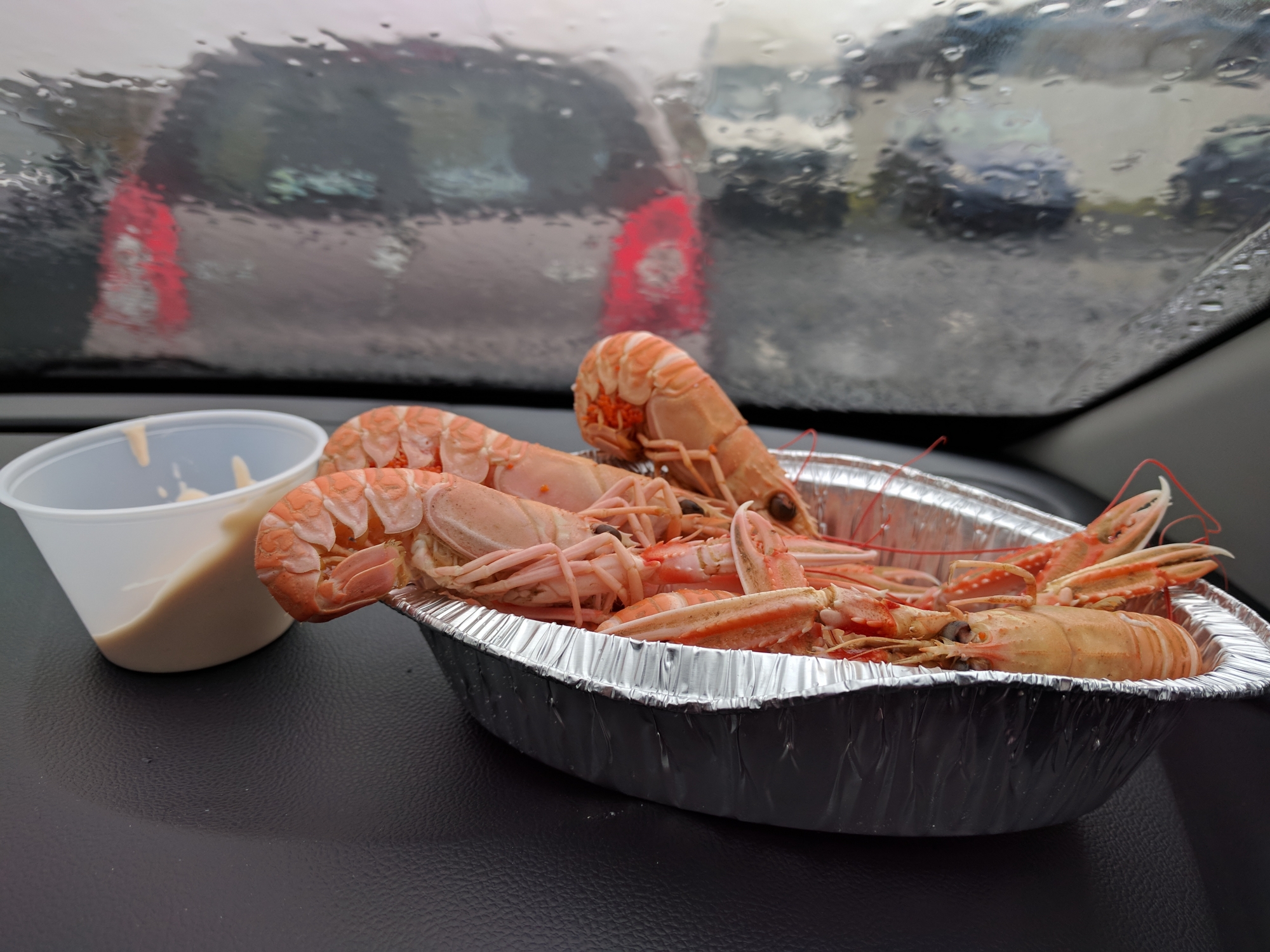
I spent an amazing week on Coll, living in Arinagour and cycling around the island each day. It’s a surprisingly varied landscape, with plenty of hills, bogs, lakes, beaches and lovely roads around the island, with just the NE corner remaining untamed. The fantastic Community Centre offered a market, play and film-screening during my stay and the lovely hotel supplied locally caught crab and langoustines a-plenty.
Danna Danna ⛴ 2023👪︎ 1🏠︎ 1
Danna is only just an island. A tidal island that’s roughly rectangular, with a semi-impervious (~30m long) causeway, you’d be forgiven for thinking it was just the southwest piece of the Knapdale National Scenic Area. However, what it lacks in clearly obvious surrounding sea, it gains in geographic obscurity – it’s off the beaten track and will likely be one of the least-visited islands on the InHab50 list. To get there, you follow the Crinan Canal, then head along the shores of Loch Sween with views across to one of the oldest stone castles in Scotland. Buildings in and around the crossing point are managed by the Tayvallich Estate, and the causeway takes you across to the end of the public road. A farm track then traverses the majority of the island, passing a working farm (one person seen – perhaps the only inhabitant, if the last census is to be believed) and two small houses plus outbuildings, which were linked to the electrical grid if not definitely inhabited. A moody day’s weather obscured views across to the Paps of Jura but some elaborately horned sheep, a large heron and a considerable flock of Canada geese showed that the limited population has plenty of natural neighbours.
Easdale Eilean Èisdeal ⛴ 2021👪︎ 59🏠︎ 29
Easdale is just a short hop from Eillenabeich on Seil, but despite the regular timetable there are still buttons to sound the klaxon or turn on the light to rouse the ferry pilot. The island is perhaps best known now for its World Stone Skimming Championships. We mentioned our desire to have our own little competition, which was greated with, “ah yes, everyone does that” from our fellow passenger. Fair enough – it was fun though! He guided us to the ‘main’ loch for skimming, which was next to a bright blue one that still looked somewhat instagrammable even in the miserable weather. A penalty shootout on the excellent mini football pitch killed some time before the ferry back, as the Puffin Bar was closed when we vistied, as was the museum. Still, a wild, rainy visit with some skimming and penalties wasn’t a bad way to spend a morning.
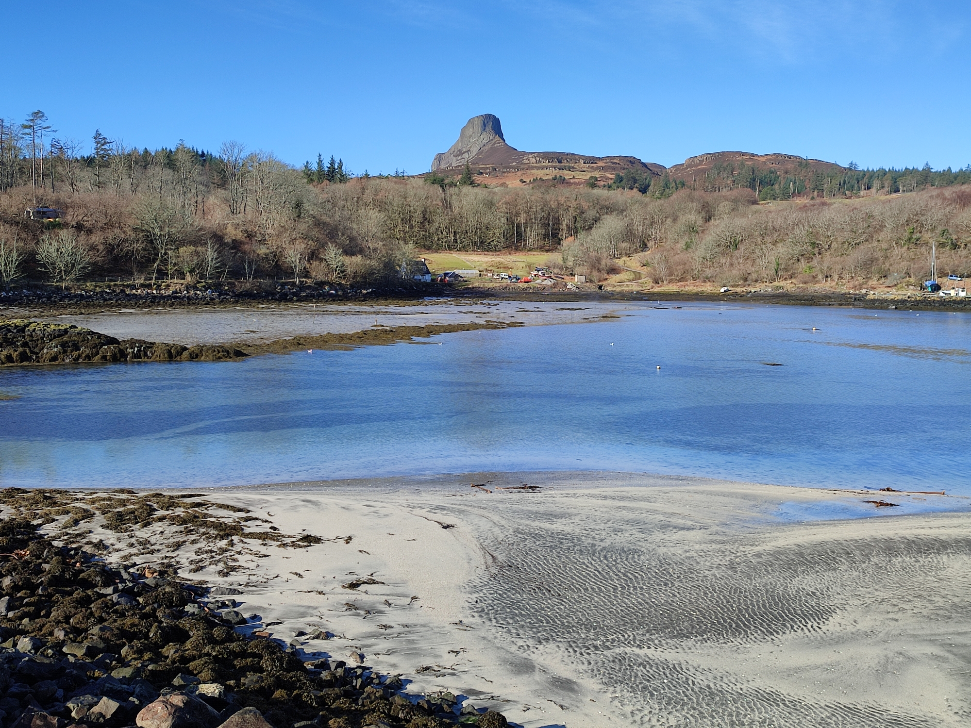
Eigg Eige ⛴ 2022👪︎ 83🏠︎ 38
A winter’s week on Eigg turned into 5 days as the Saturday ferry couldn’t run due to stormy conditions. In fact, the swell on arrival was still such an issue that foot passengers were transported off in trucks and vans to avoid being swept away. But those storms were soon a distant memory as the delights of Eigg, and particularly the area around Laig Bay, shone for geological walks, sunset cycles and even an optimistic swim. The dominant feature of Eigg, An Sgùrr, is replaced by the Finger of God (Bidein an Tighearna) when in the north of the island – both are dramatic in their own right though the former is a genuine marvel – the Devils Tower of the Hebrides. In fact, not only is there considerable interesting geology but some intriguing cultural history too. For more recent culture, Eigg is most famously known for its community buy-out (and spirit) and it was nice getting to know the island and its people during our 5 days there, with Charlie the taxi driver adding some local colour and stories to our otherwise non-automotive travel.
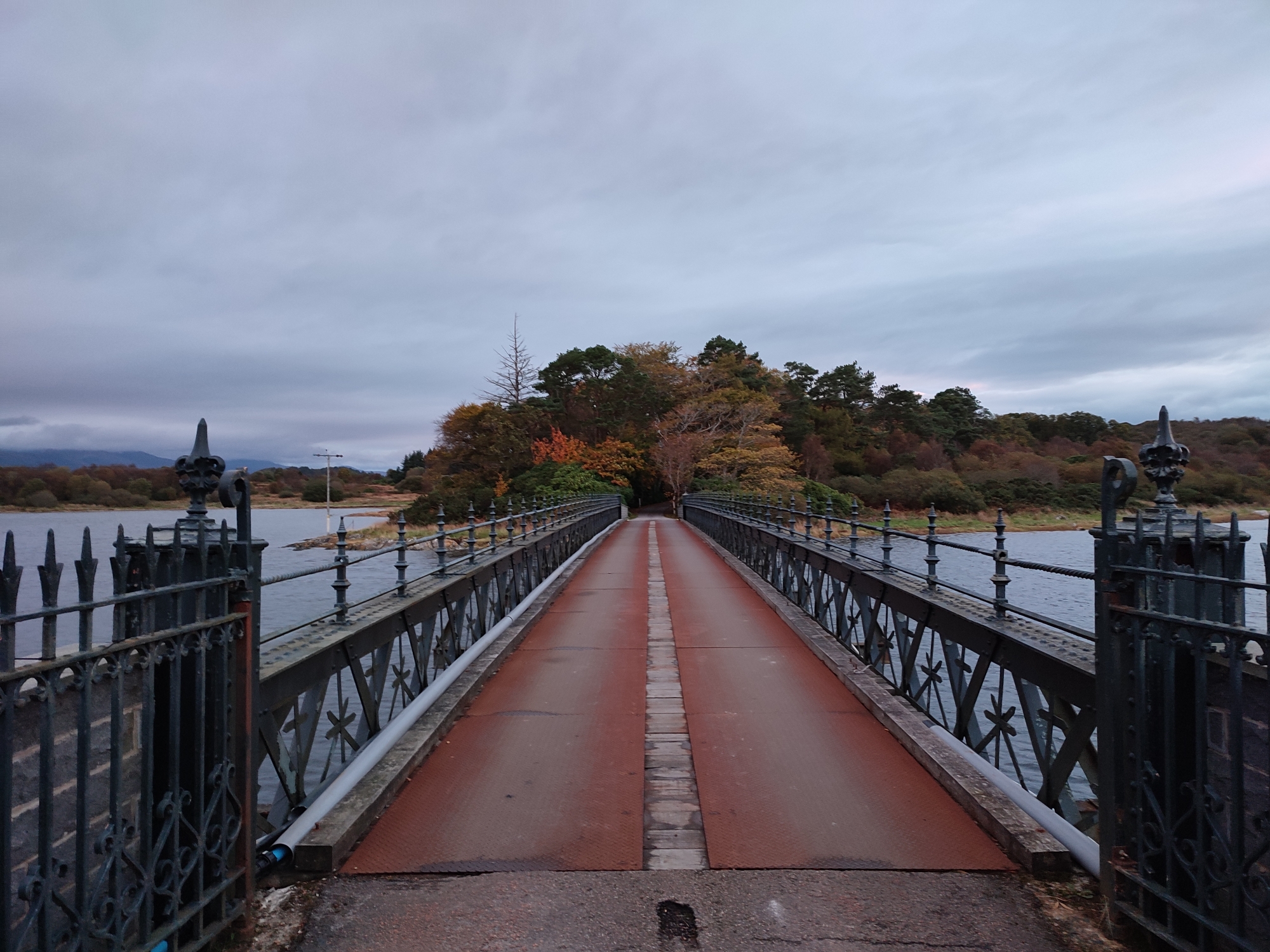
Eriska Aoraisge ⛴ 2021👪︎ ?*🏠︎ ?*
We decided to hit Eriska in the early hours before breakfast at the Falls of Lora Hotel – partly because it helped with the busy day’s itenary but also due to Eriska being privately-owned. There’s nothing wrong with walking around it, but we weren’t quite sure what signs we’d find upon approach. As it happened, we parked just outside the hotel walls (actually on the mainland) and wandered in, but it was pitch black – darker than we’d expected! As we crossed over, the sun started to rise and we had a brief exchange with a cyclist heading to the hotel, a suprisingly subdued affair designed in the Baronial style by Hippolyte Blanc. The island was great to walk around, with lovely views over to Lismore, with the Port Appin ferry terminal lit up at dawn. The ornate bridge over to the island was gently lit by the rising sun as we left, with crab apples and mushrooms glinting as morning approached.
Eriskay Èirisgeigh ⛴ 2019👪︎ 143🏠︎ 73
Sitting in the ferry waiting room at Ardmore / Aird More (Ardmhòr), I was suprised to get both free wifi and a lovely otter statue. The journey was complete with porpoises, and arrival was very enjoyable. From there, I cycled up and down towards the main village, complete with local co-op, Church and various ‘Whisky Galore’ sights, historically wrapped-up with this wonderful 1930s video. I loved Eriskay, despite a fleeting visit – and this book helped set the scene.
Erraid Eilean Earraid ⛴ 2017👪︎ 6🏠︎ 4
Reached at low tide by walking over a beach, Erraid is a lovely little island that features a rent-free community living in the old lighthouse cottages. The ‘lighthouse’ is actually a now-disused signal station for the Skerryvore and Dubh Artach lighthouses, many miles to the west / south-west (respectively) across the sea.
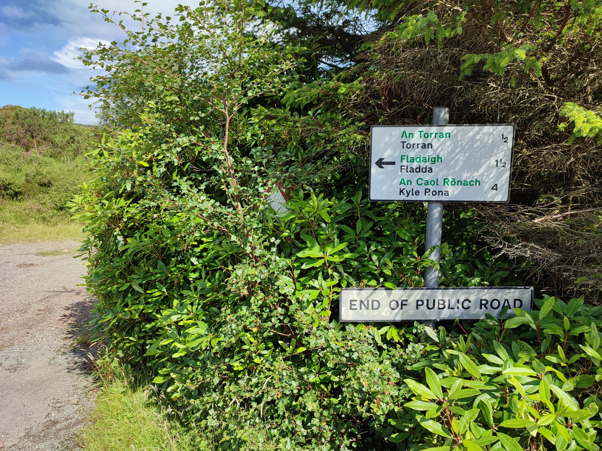
First up, let’s discuss the name. In the official data listed above, both the English and Gaelic names are listed as Flodaigh, yet the signage when you get there lists Flodda and Fhloddaigh, respectively – oh, and the map below goes for Flodday! Lots of Hebridean islands have begun in Norse, then been gaelicised and finally anglicised, with possible see-sawing between those steps bringing a few spelling variants along the way. Naming-aside, it was an enjoyable island to visit, although the ‘only road’ only went so far – the OS map suggested a phone box existed in the north ‘hamlet’, but I suspect my old maps reflected a distant past. There was a small bit of tourism present, but I got the feeling not many people venture this way – I get it – but there was a lovely out-of-the-way feeling to the place, hopefully not interrupted by my fleeting presence. The winter sun probably helped, but it felt like an ideal place to hide away from it all.
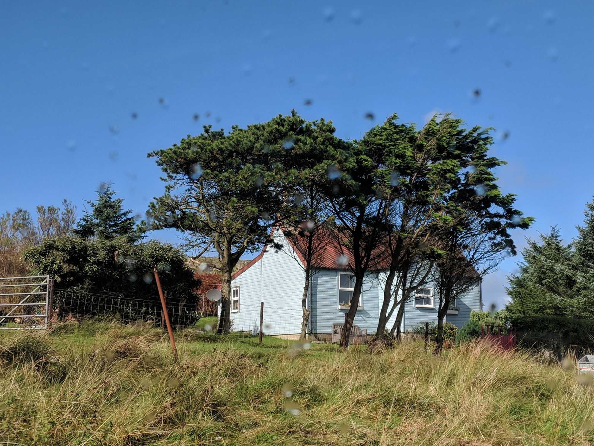
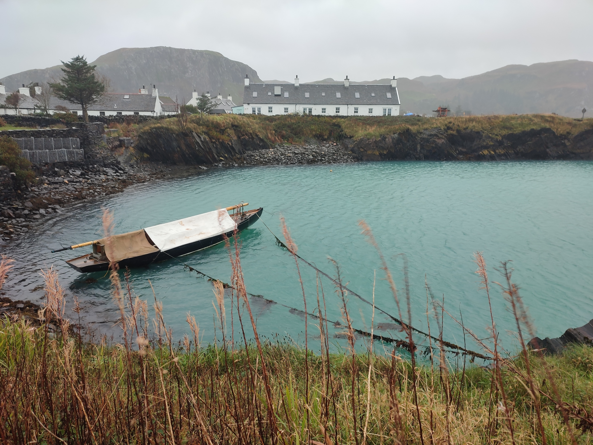
Fraoch-eilean Fraoch-eilean ⛴ 2019👪︎ ?*🏠︎ ?*
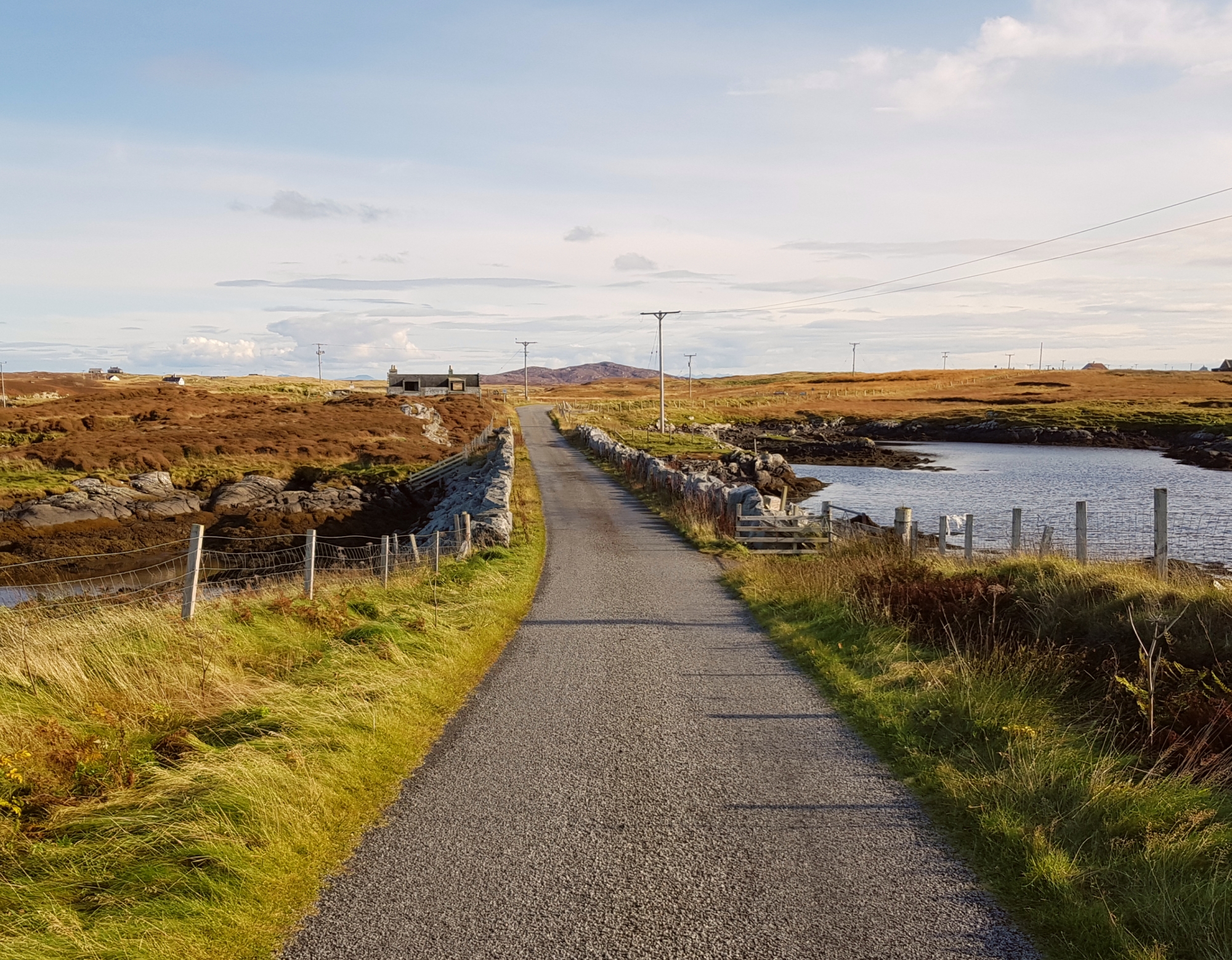
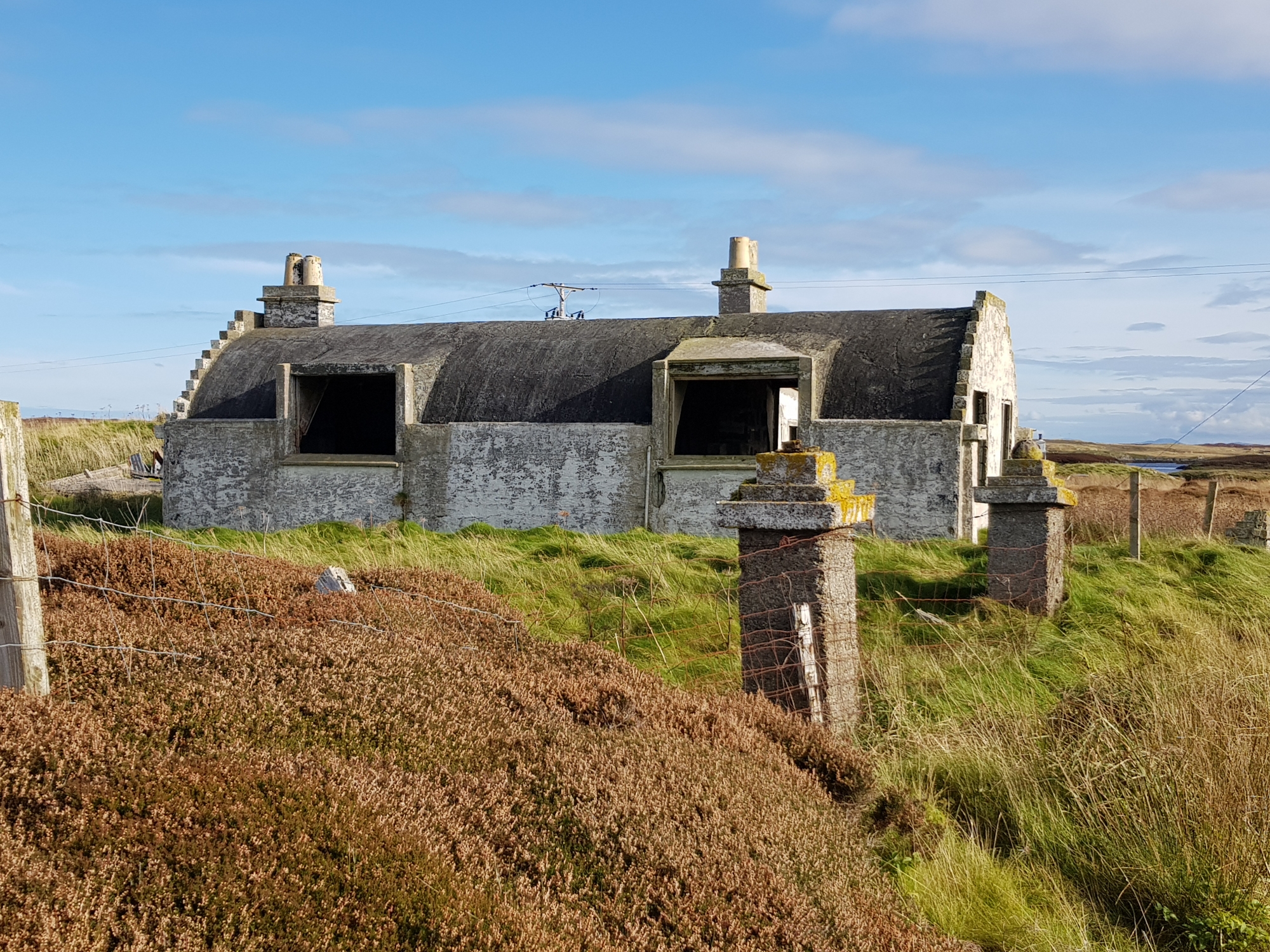
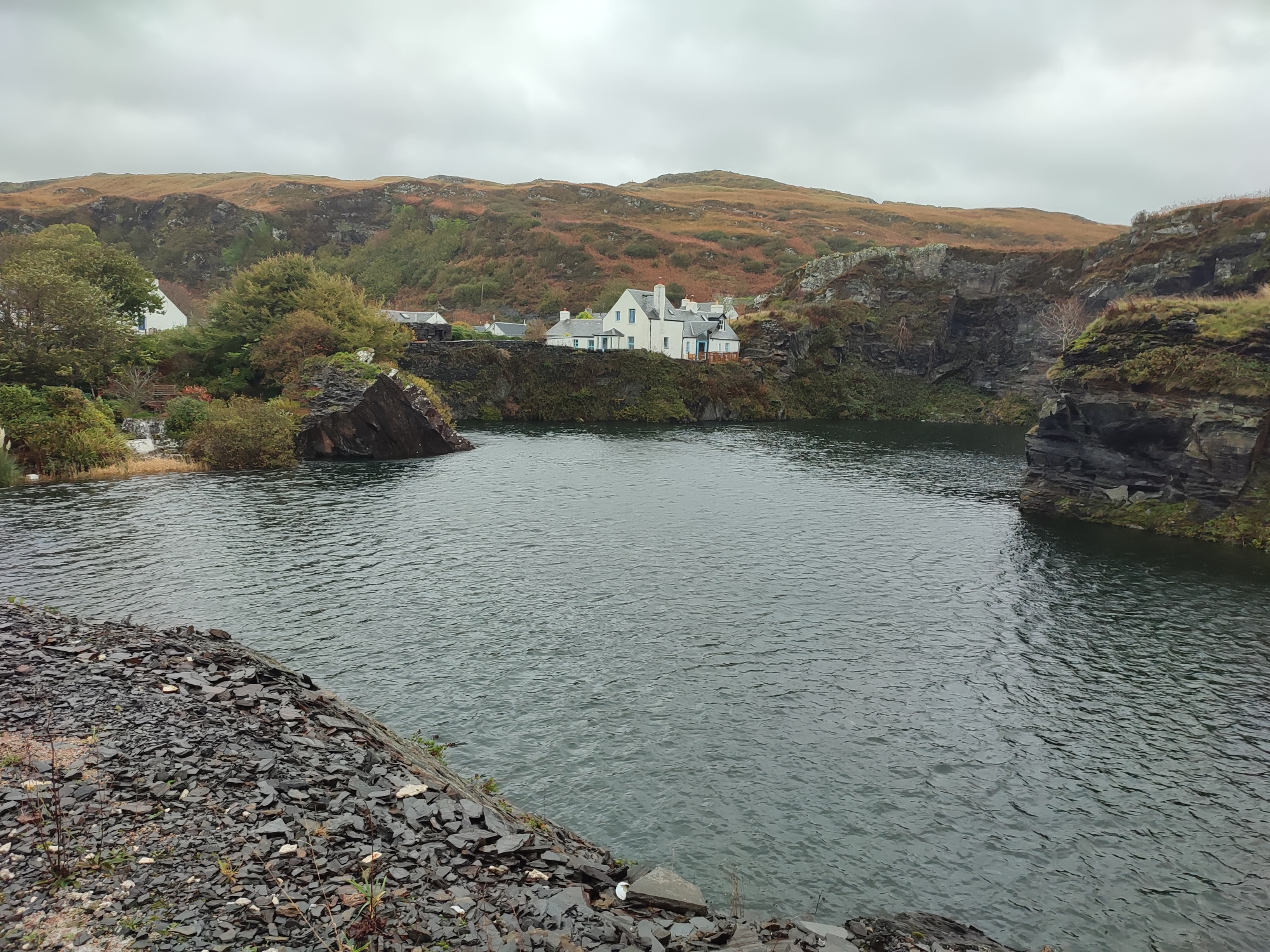
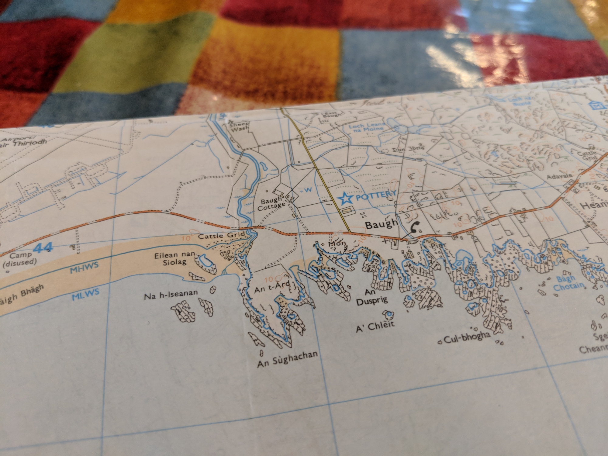
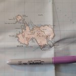
I feel like this will be one of the least-visited islands on the list. It’s just a short hop over a causeway from Grimsay (N), but it’s not an obvious route to take as a tourist. As I crossed on my bike, I passed through what looked like a financial exchange of sheep – a lot of business faces. Further expooration revealed a scattering of houses, but clear signs of families and community on this very tiny island. Sharing its name (with the perhaps more-famous) island on Loch Awe, both these ‘Heather Islands’ are well worth a visit. NB Fraoch-Eilean is shown on the historical map below as Seanabailly (Old Town – see see 2nd transcript), a name preserved by its only current settlement, Seana Bhaile.
Gigha Giogha ⛴ 2021👪︎ 163🏠︎ 74
In one of those perfect weather alignments, Gigha blazed down sunshine from arrival to departure. Camping on the the “Queen’s Beach” on the north of the island (the north-facing of the Twin Beaches, a Tombolo joining the main island to Eilean Garbh), the only issue was finding shade and water, which is an unusual predicament in the Hebrides. A concerned local warned of the long walk and lack of ammenities, so plenty of water was carried and we met up again upon leaving to general “you saw Gigha at its best!” chat. The gardens of Achamore, developed by Colonel Horlick (of malty drink fame), were stunning and felt truly at home in the tropical conditions – the viewpoint to the SW beaches is also not to be missed. The whole island was taken over by a film crew for the duration, which increased capacity and reduced facilities, but added an intriguing air to an already amazing trip – watch out for Murder Island! To cap it all off, a farm dog provided company almost the whole length of the 4 mile walk back to the ferry, but shied away from departing the island – clever dog.
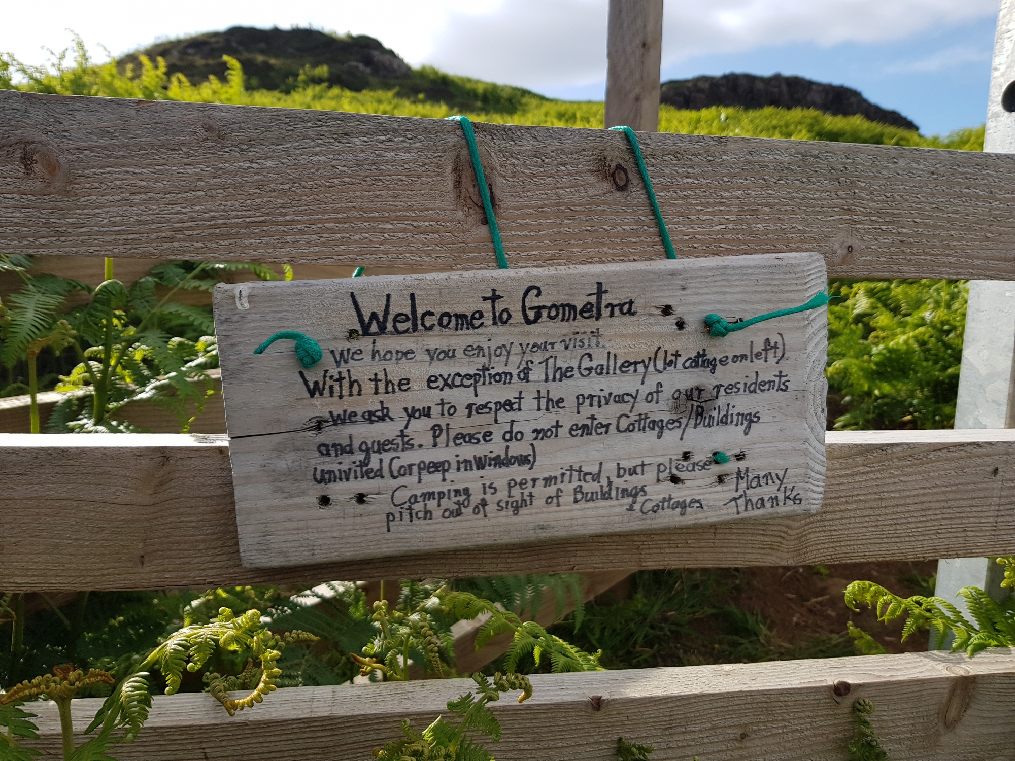
Gometra Gòmastra ⛴ 2019👪︎ 2🏠︎ 1
Reaching Gometra was via a 10 mile rough track from Ulva Ferry. This was the start of the adventure (I wouldn’t recommend trying it with road bikes in the rain!) and the island was fascinating. We bumped the population up to 5 during our visit, with 2 or 3 on the island regularly. Jane Ann’s Bothy was amazing, totally off-grid and no mobile reception, so the peace and tranquility of the island really shone through. The previous occupant of the bothy was recorded for a documentary called My Island, which highlights the highs, lows and ethos of the island in modern times.
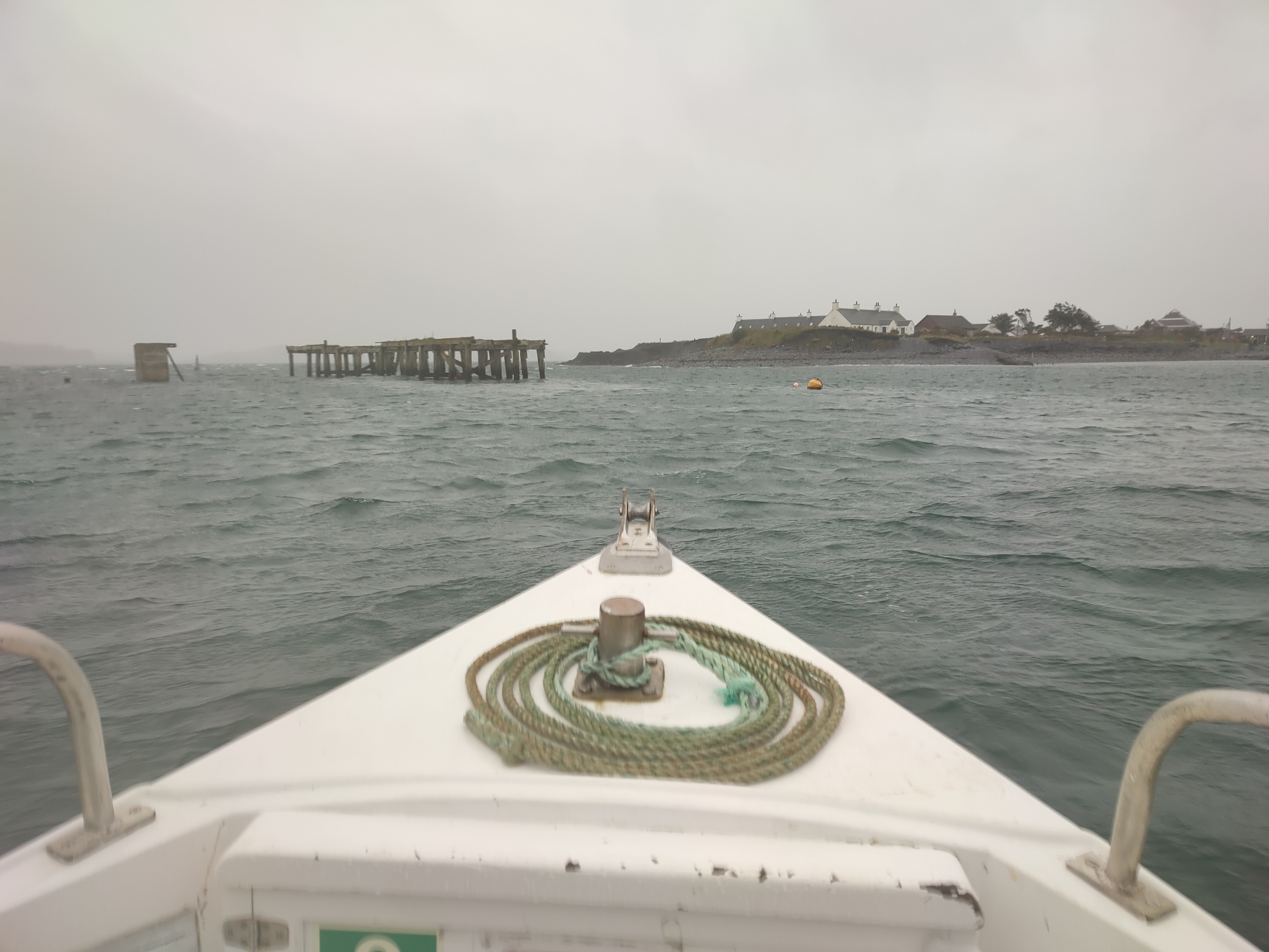
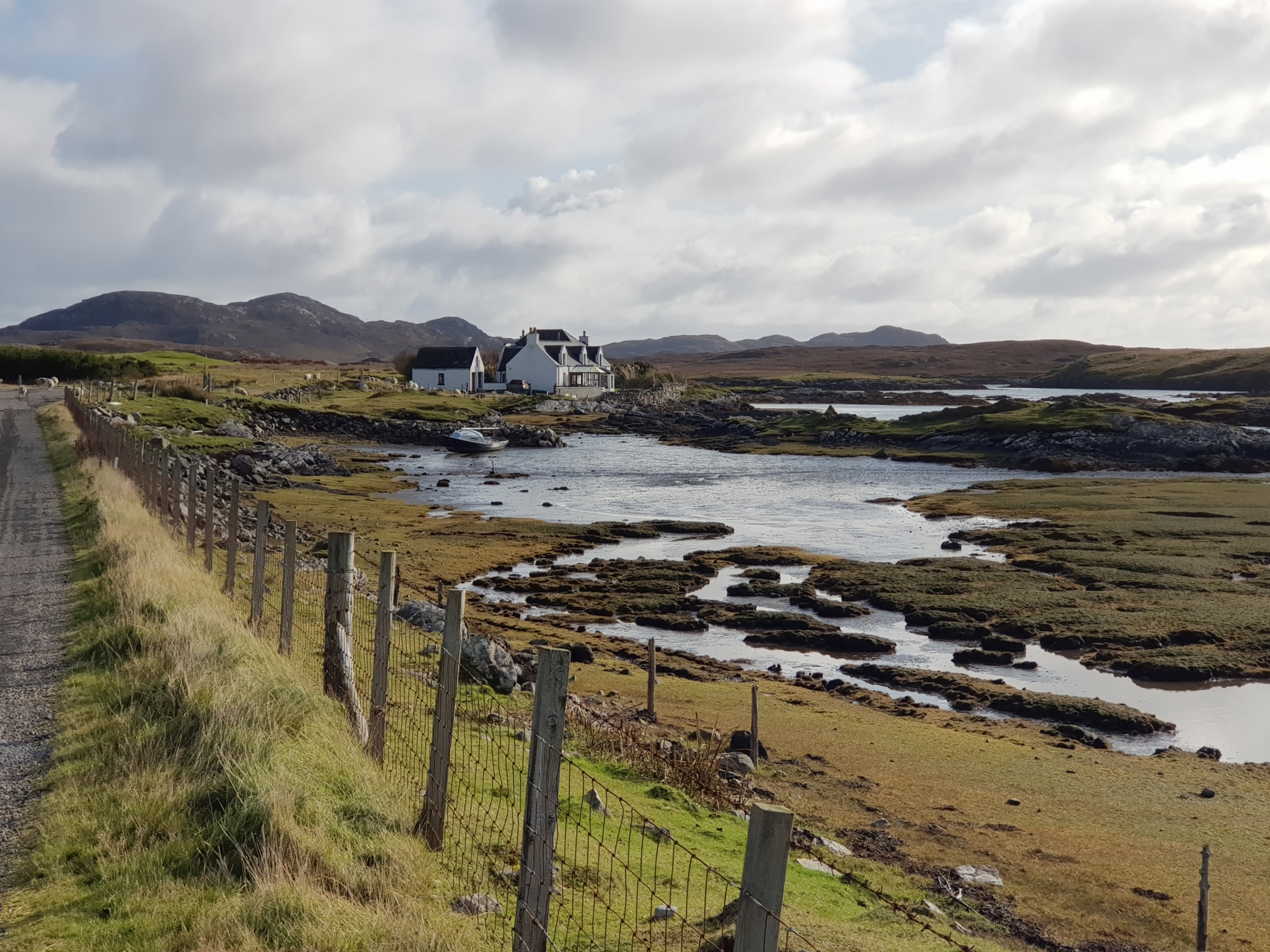
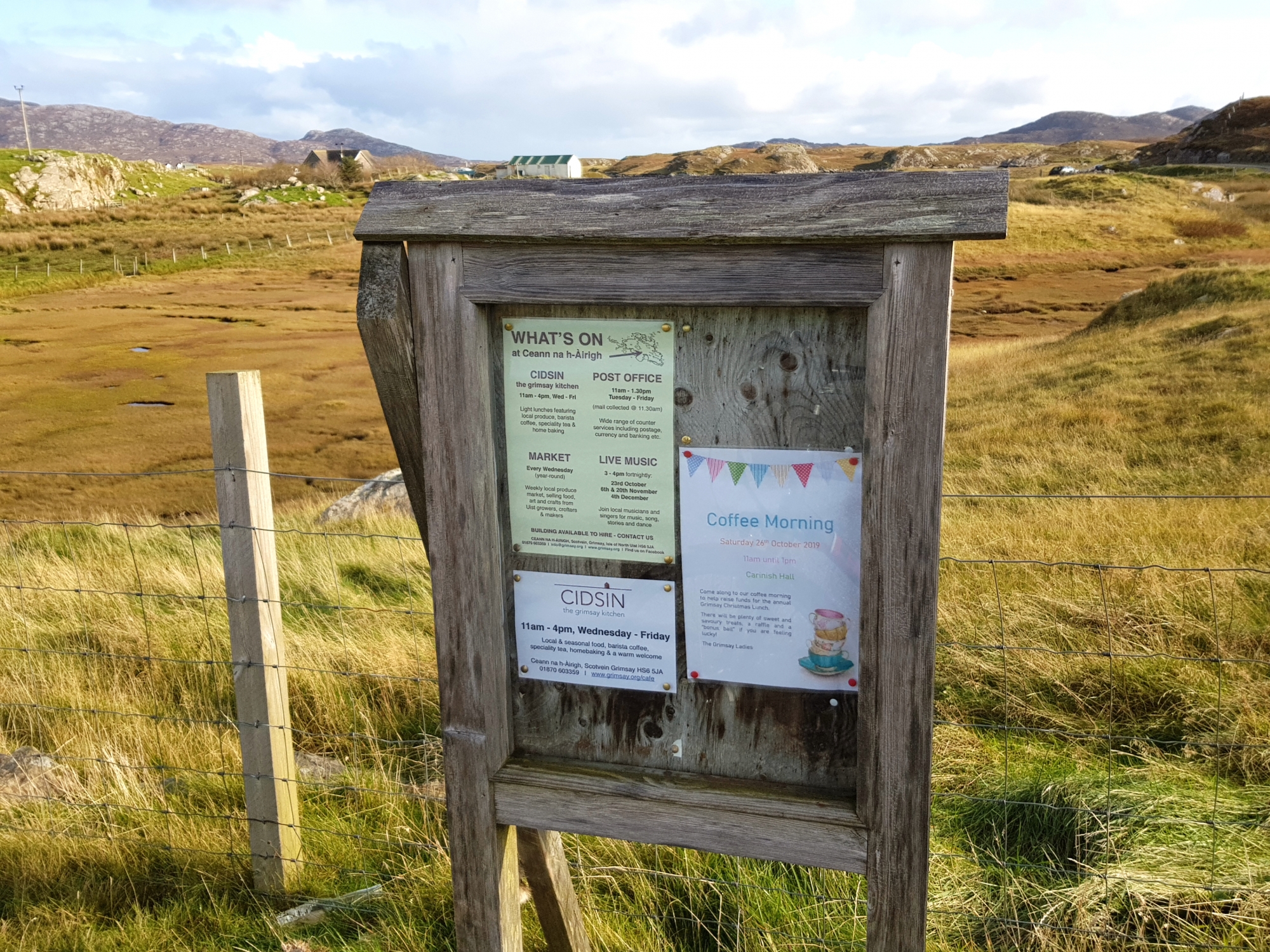
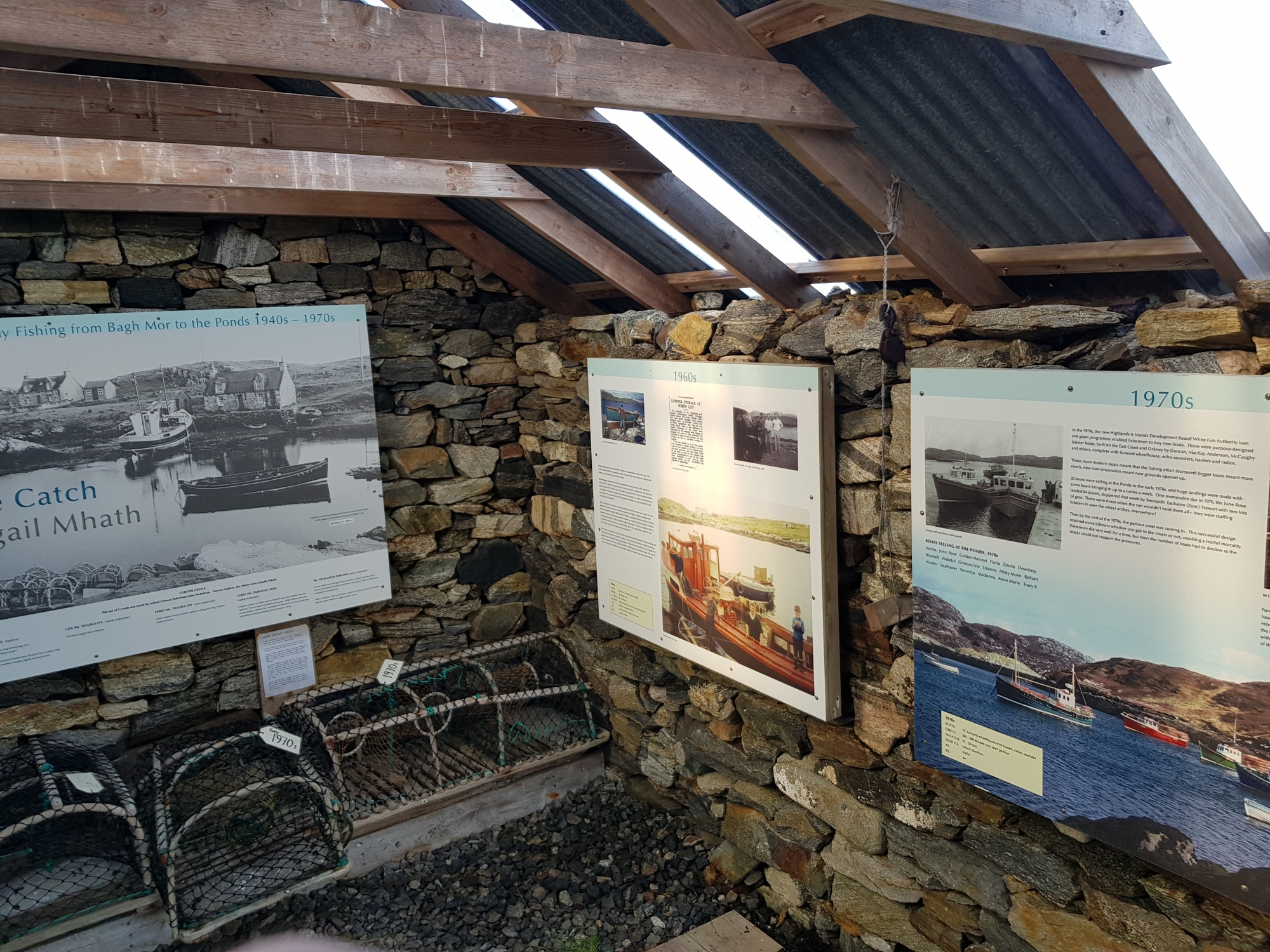
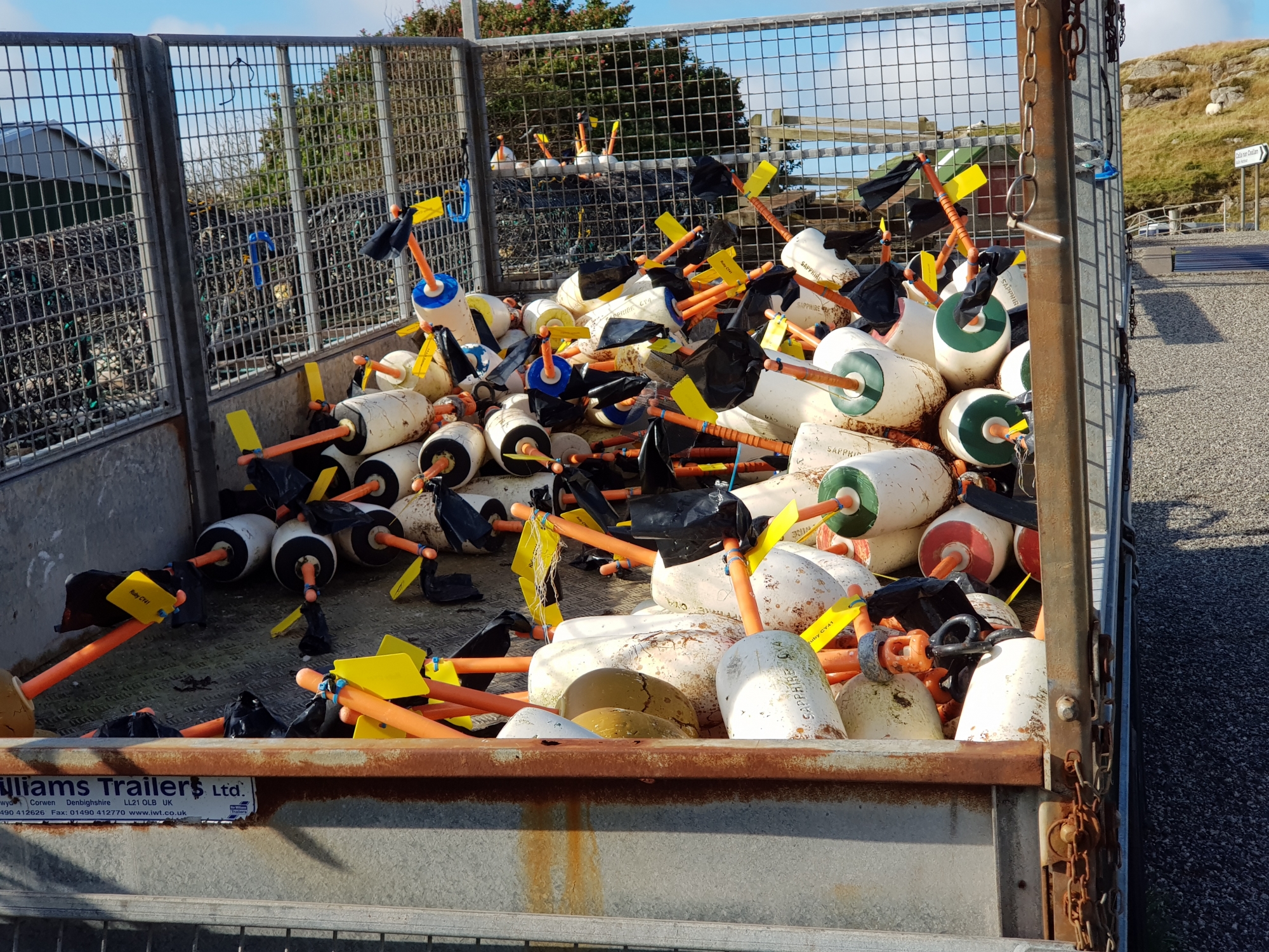
Grimsay (North) Griomasaigh ⛴ 2019👪︎ 169🏠︎ 80
I cycled up via the north road and back round, and the scenery and sparcity of people didn’t prepare me for the (reasonably) bustling life of Kallin (Ceallan), with a very-active harbour and fisheries. Due to the scale of industry, this must be a major port of the whole region, and offers a café, post office and other tourist outlets that weren’t open on my winter visit. Local community events seemed pleantiful, and (at least) the east-end of the island seemed resistant to immediate change.
Grimsay (South) Griomasaigh ⛴ 2019👪︎ 20🏠︎ 7
The much less-populated of the two Grimsays, the only road allowed me only so much access, before decamping from the bike and exploring. It’s clearly a small community, and the farther reaches of the island feel increasingly ‘off-grid’. You can keep going along the road to Peter’s PortPort Pheadair, but it’s rarely used now and on an uninhabted island these days. It was a very quiet lunch stop on my journey and can’t imagine many have lunched there before!
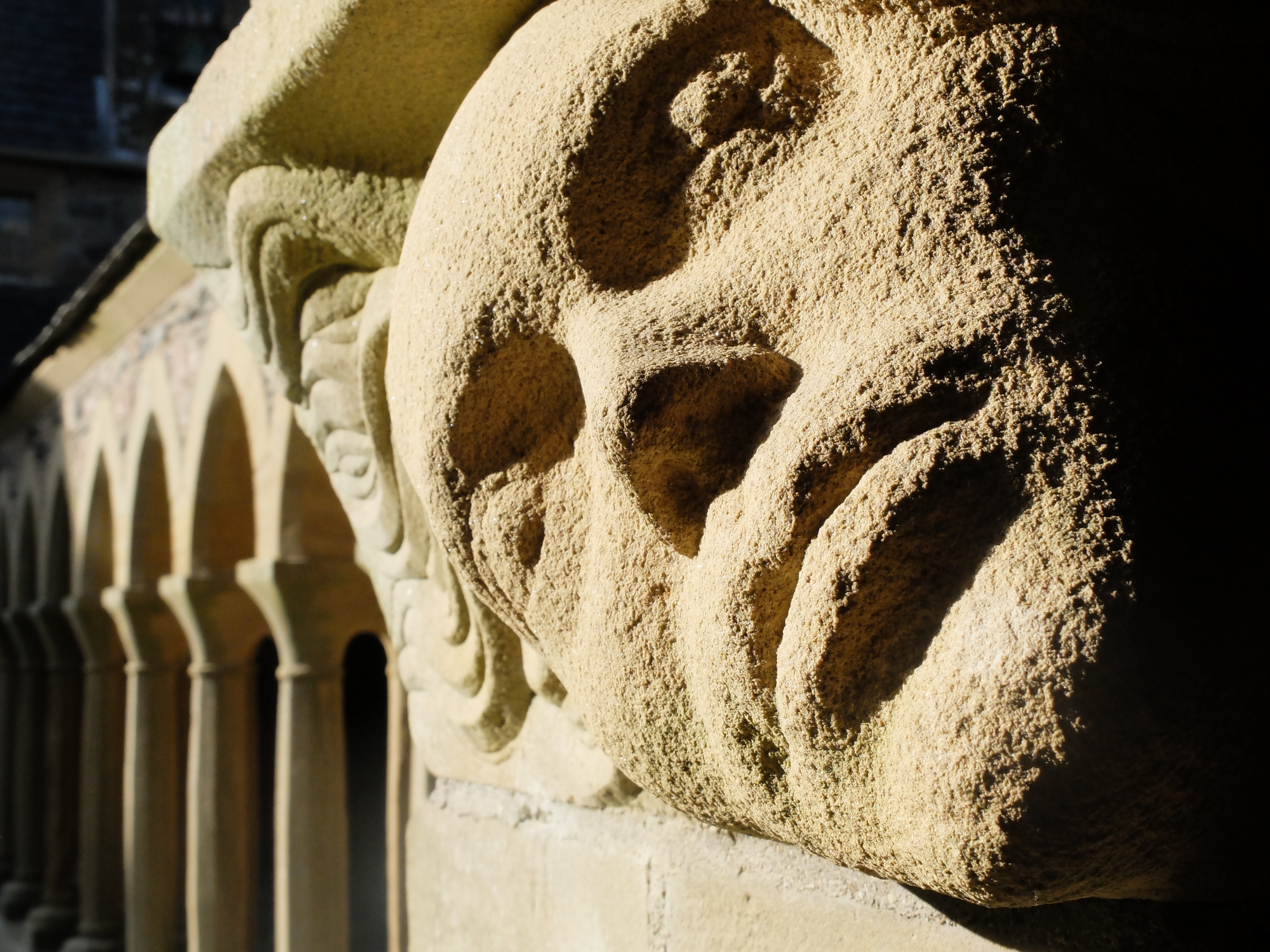
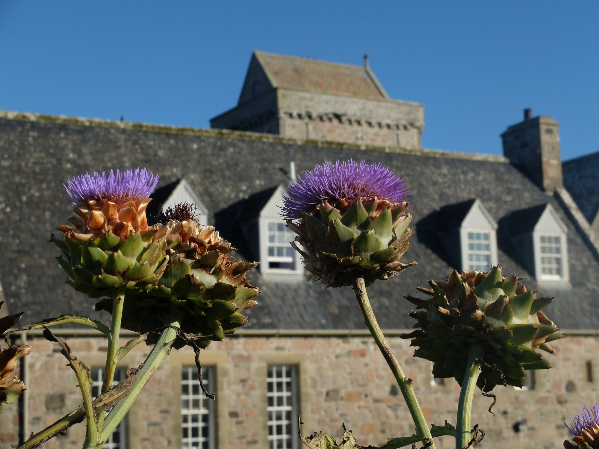
Iona Ì Chaluim Chille ⛴ 2017👪︎ 177🏠︎ 69
Iona in the sunshine is a delight. I’ve no idea what it’s like in the cold & rain because the sun shone the whole time. Famous for being a religious island, it also has plenty of stunning beaches to explore, with Godwits flitting about on the shores. The very brief CalMac ferry from Fionnphort was later utilised to secure some crab and lobster caught locally, but unable to be delivered back to Mull by the small fishing boat due to increasing winds.
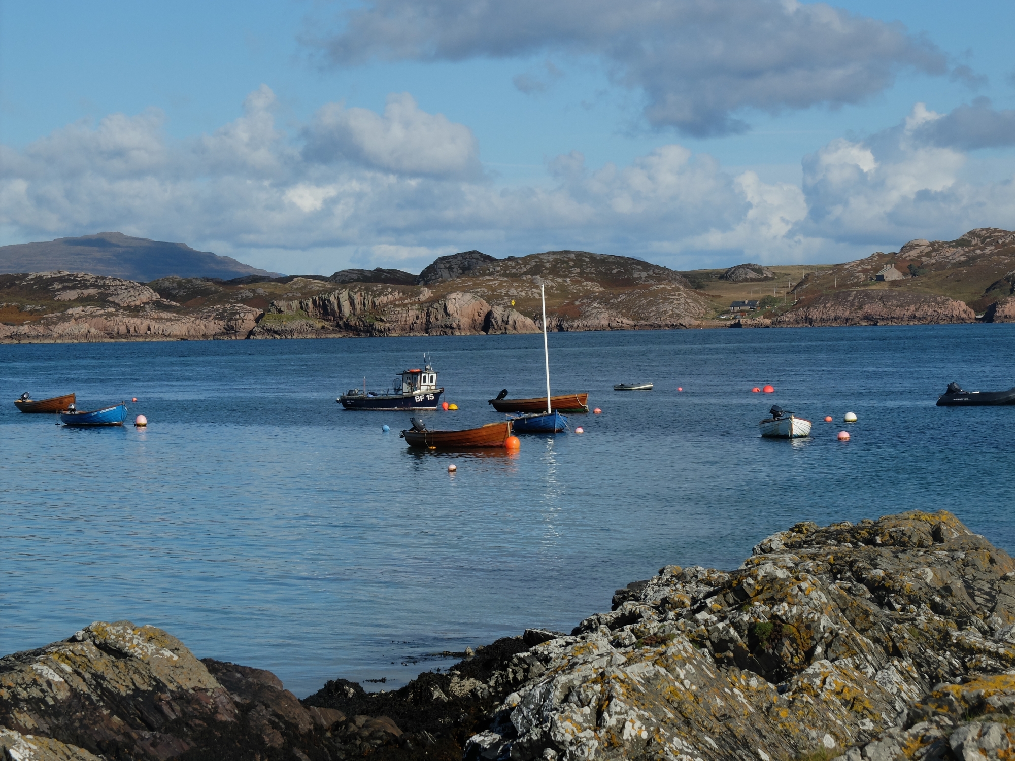
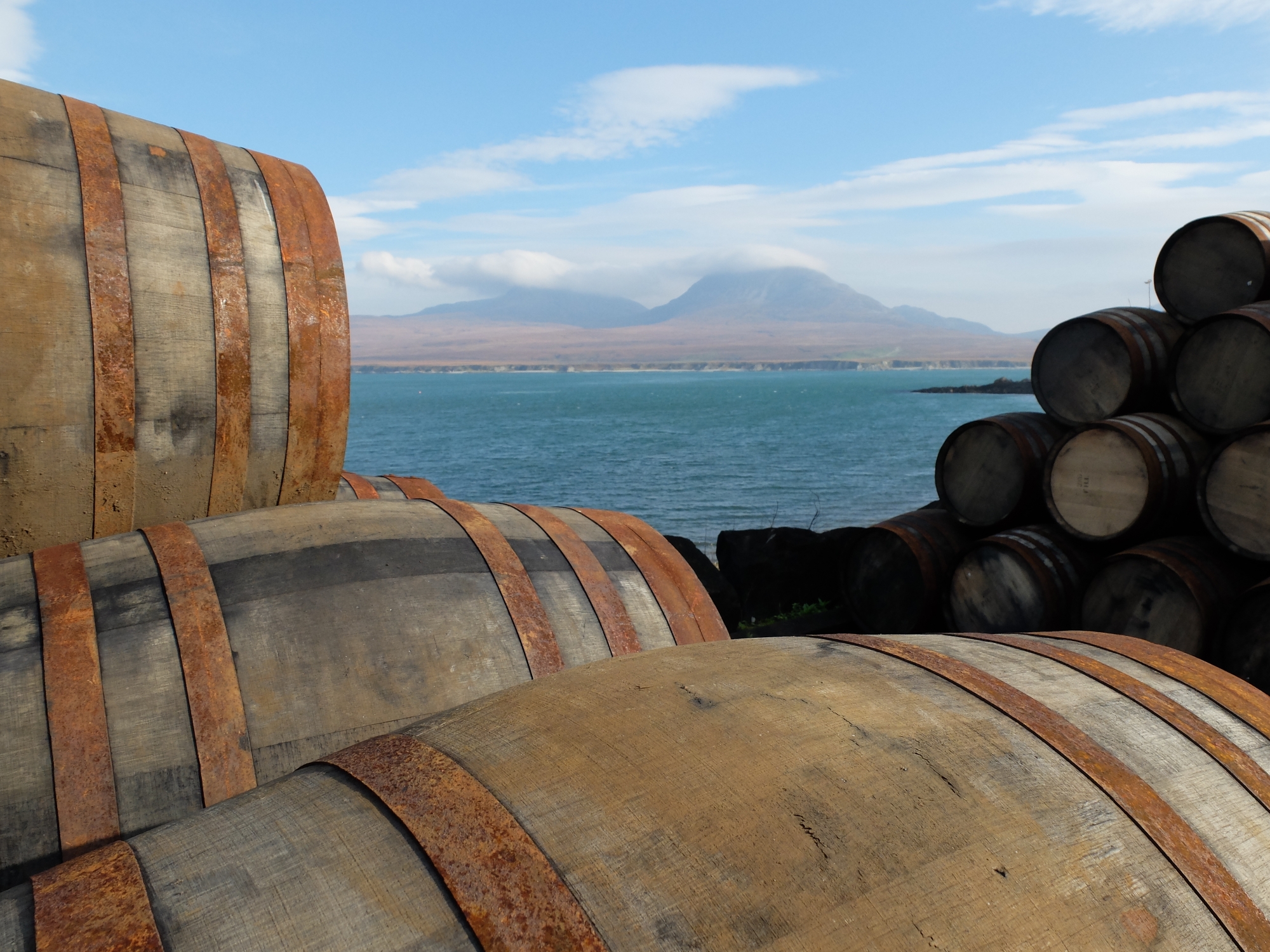
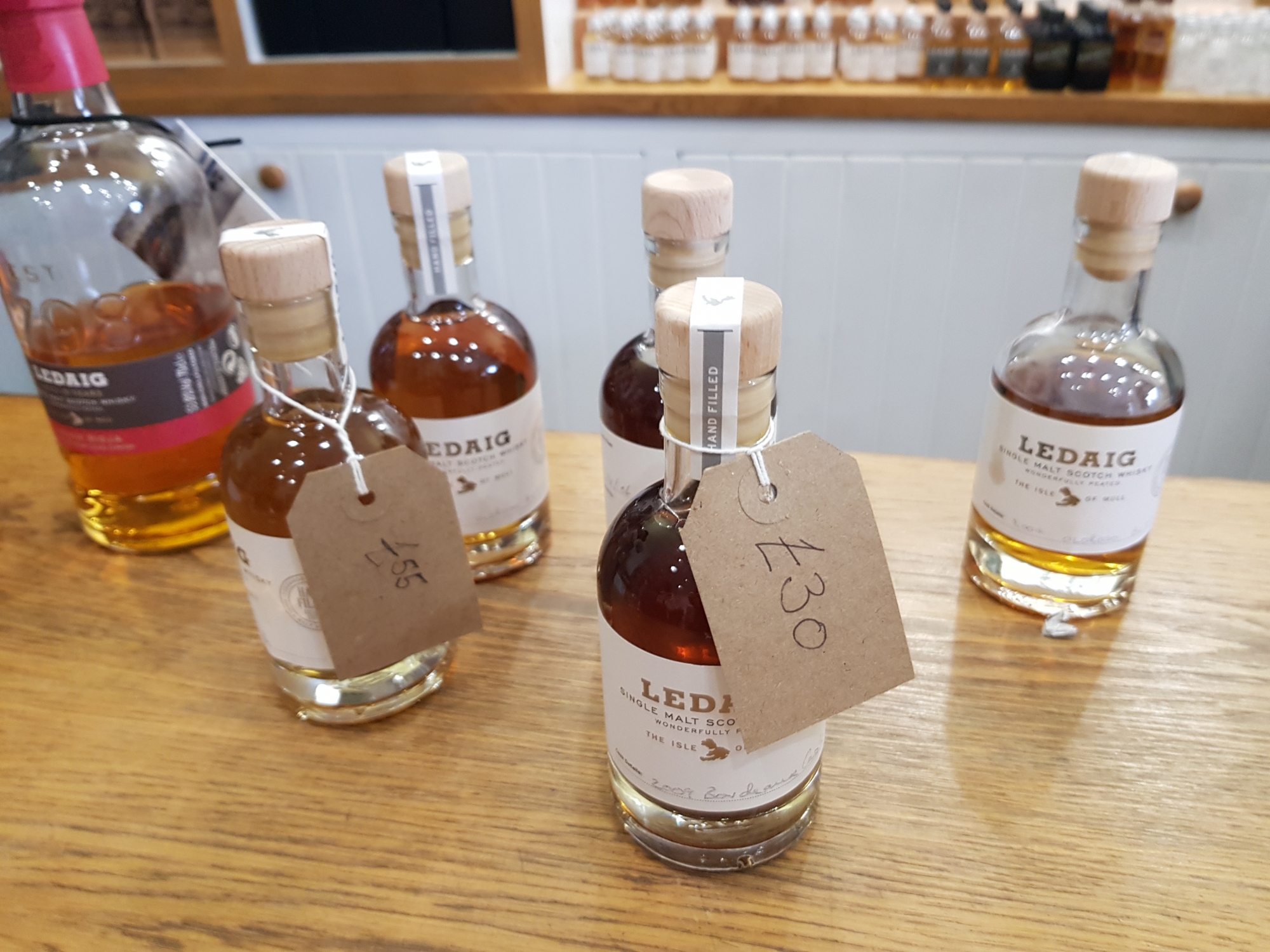
Islay Ìle ⛴ 2010👪︎ 3228🏠︎ 1479
Islay has always brought me there for whisky, in one way or another. My family and friends descended on the island for my 30th birthday – my first visit to the island, but an amazing place to stay. I’ve since visited every distllery on the island in an action-packed two day trip, but there’s more to come, so I’m sure I’ll be back again soon.
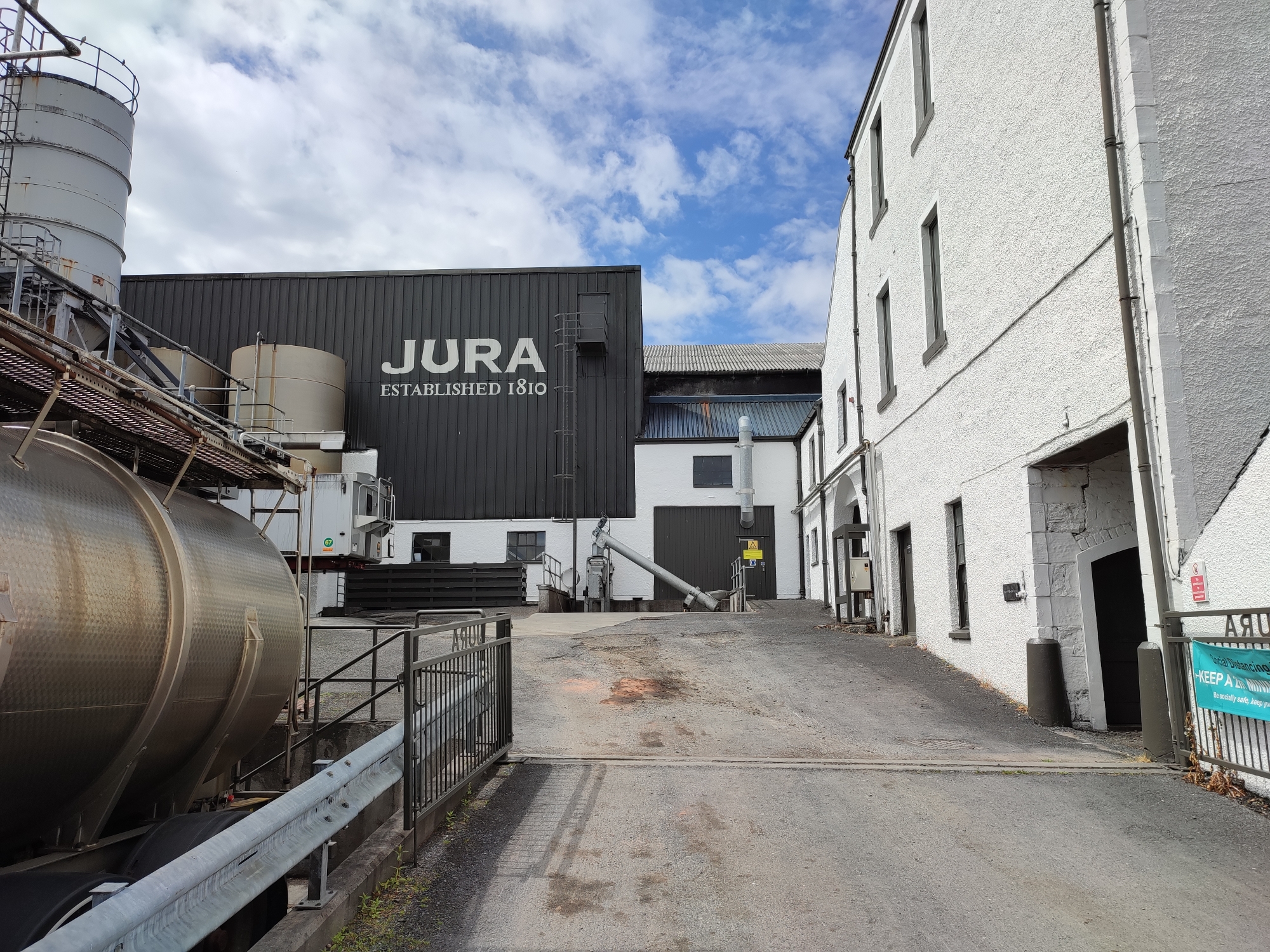
Jura Diùra ⛴ 2021👪︎ 196🏠︎ 93
Although I’d been close to Jura many times, I’d never actually gone across and visited. This time however, the short ferry across from Port Askaig was too tempting. The ferry was met by a (mini)bus service that felt more like a taxi due to passenger numbers. It dropped us off at Craighouse and exploration started there. The hotel and distillery were shut due to COVID, so a walk up the coast provided the sights. In my head Jura is a wild unforgiving place, but the pockets of populations, coupled with the sun coming out, made it feel much like any other ‘more accessible’ island – the notable difference here is the car ferry docks ~13k away from the main settlement, although a small passenger ferry now operates from Tayvalich on the mainland. The road north gradually escapes into fields of wildflowers, small farms and more forestry than you might imagine, all pockmarked with a house or small hamlet. Before leaving, a large tanker arrived at the distillery, reminding you that almost everything on Jura somehow gets on and off the island – it’s not a big distance to Islay, but it’s also not a big ferry! I’m not a huge fan of standard Jura whisky, but a nice bottle from Cadenhead’s made for a nice reminder of the trip. The genuinely unforgiving Paps will have to wait until next time, although they just emerged from behind their cloud blanket as we were departing.
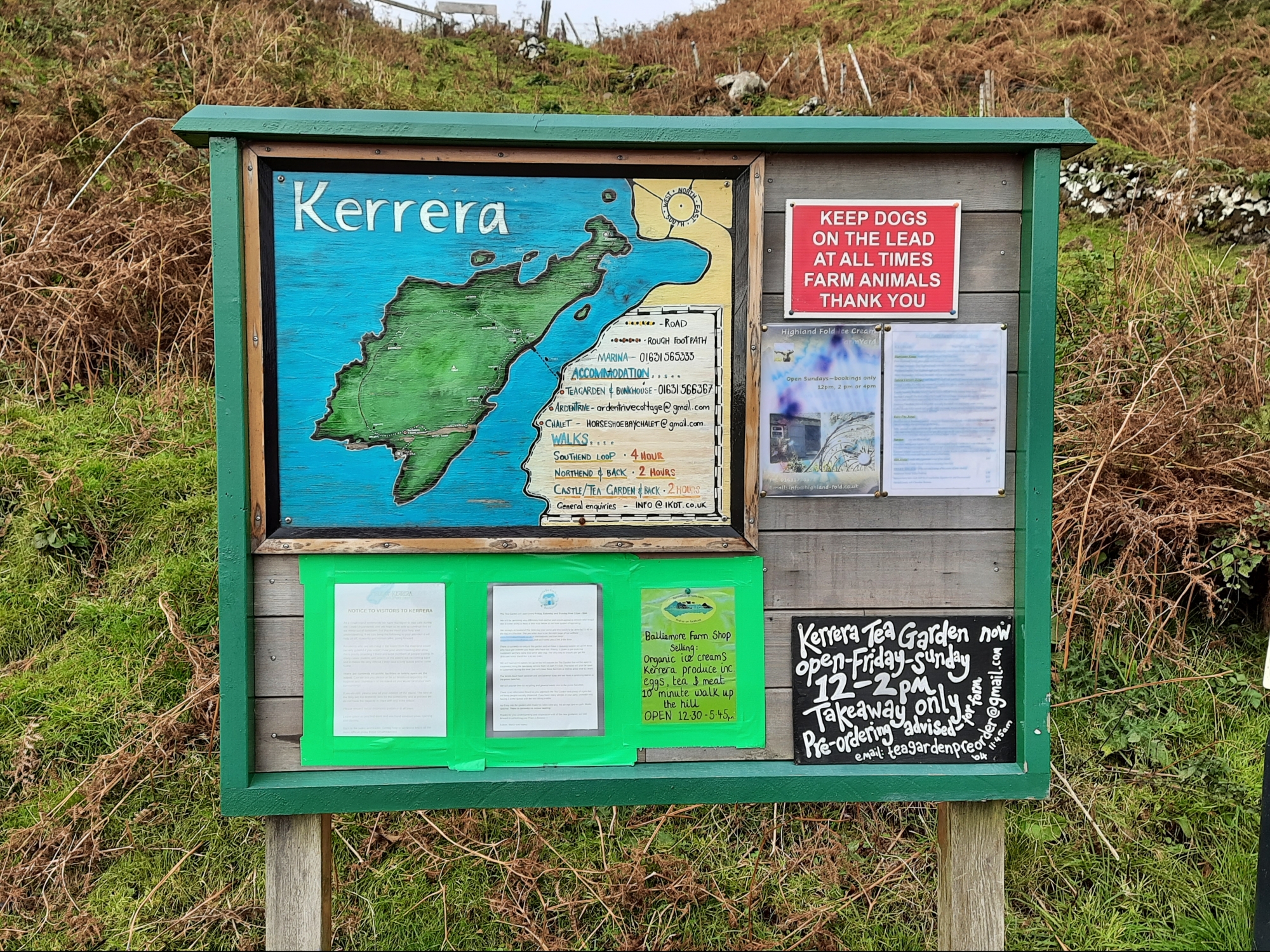
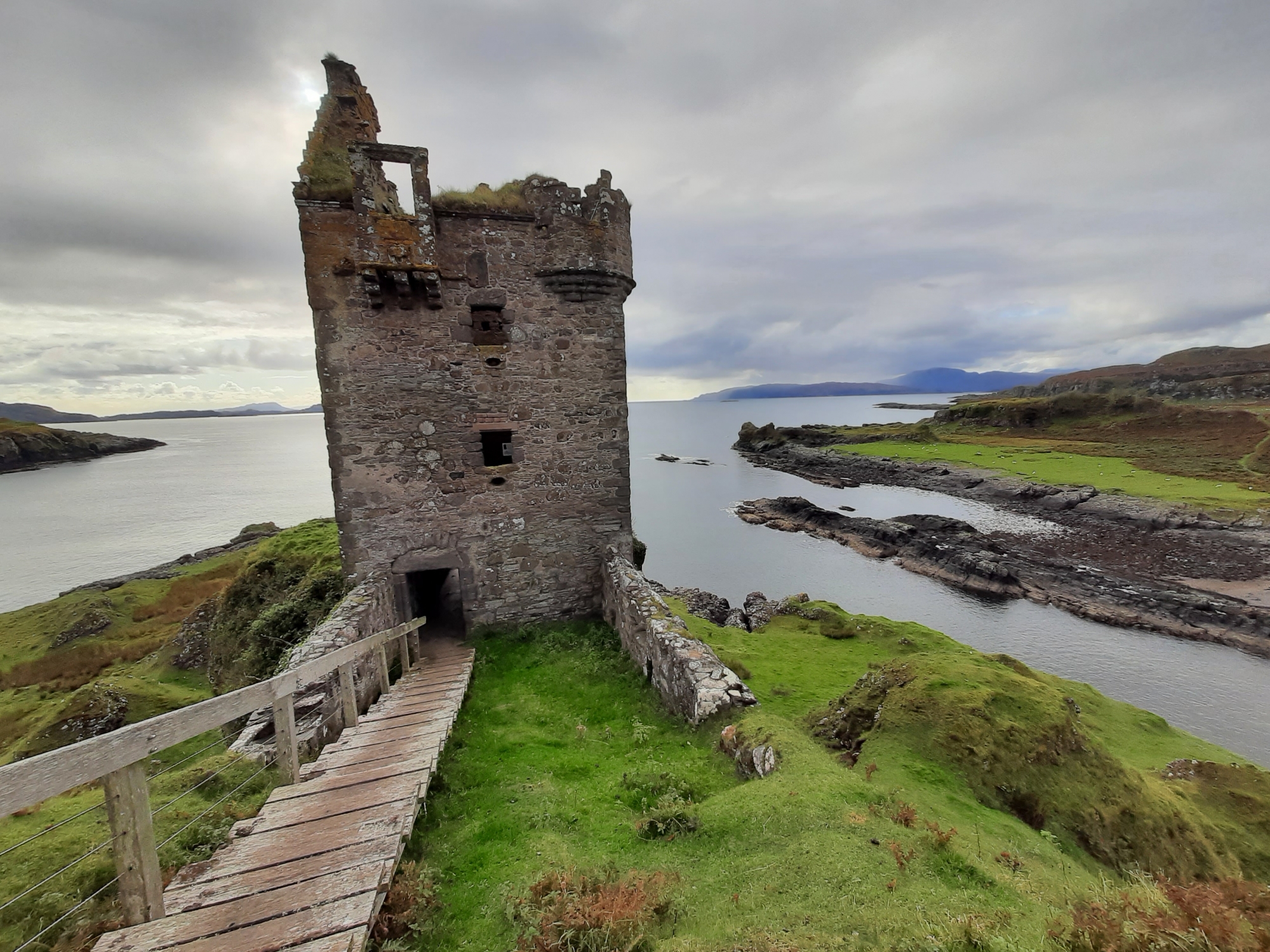
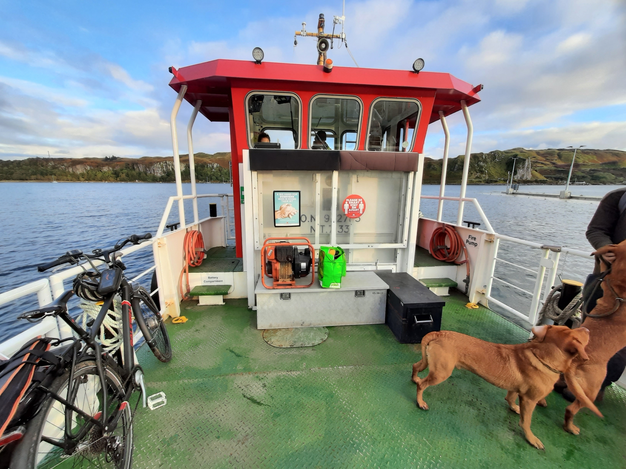
Kerrera Cearrara ⛴ 2020👪︎ 34🏠︎ 19
The little ferry from Gallanach (4km SW of Oban) takes you the short trip to Kerrera, where you’re met with a local map and an old phonebox with postcards for sale. We headed south to Gylan Castle, a surprisngly intact 16th Century Baronial affair on a promontory with views out to Jura, Islay & Colonsay. Kerrera is hillier than you might expect, and some steep paths tested the legs, but with the sun setting over the dotted houses around the shore it was time to head back. The small population isn’t noticably settled in one place (apart from a few houses near the slip) and without a shop, they naturally congregate around this area when the ferry is due – with the last one taking us back to the mainland and our tents. The intriguing house at Rudh-A-Chruidh will wait for another visit, but it’s unmissable from all Calmac ferries leaving Oban.
Lewis and Harris Leòdhas agus na Hearadh ⛴ 2009👪︎ 21031🏠︎ 9503
One of my earliest Hebridean adventures, Lewis and Harris rained down on us for a solid 3 days, bar about half an hour at the amazing Luskentyre Sands. Our visit to Callanish was well worth the effort, despite the driving rain – although that’s the kind of weather that goes well with the mysticism. The road around South Harris is an underlating adverture, which can be broken up with a trip to Berneray in calmer conditions than ours..
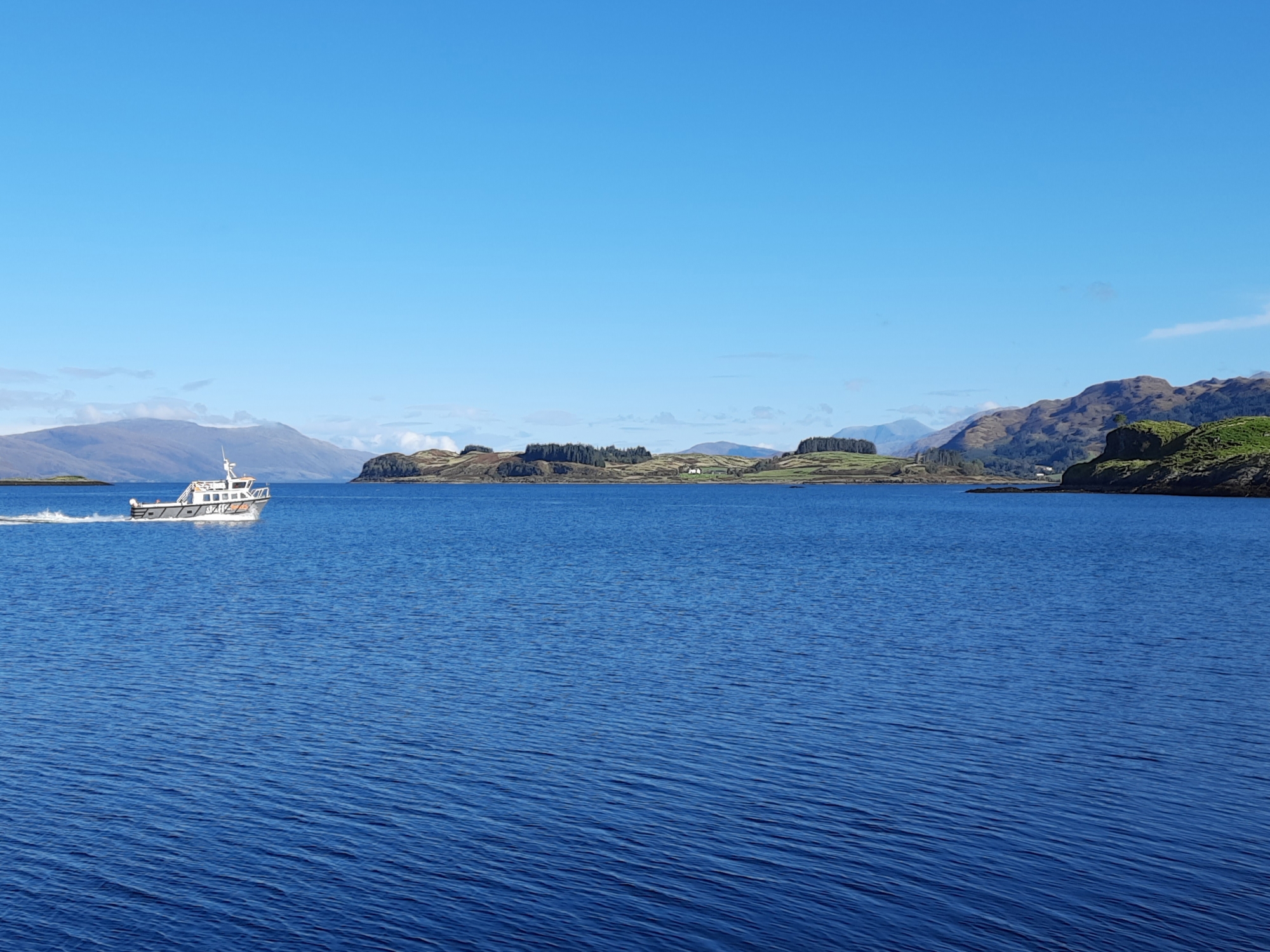
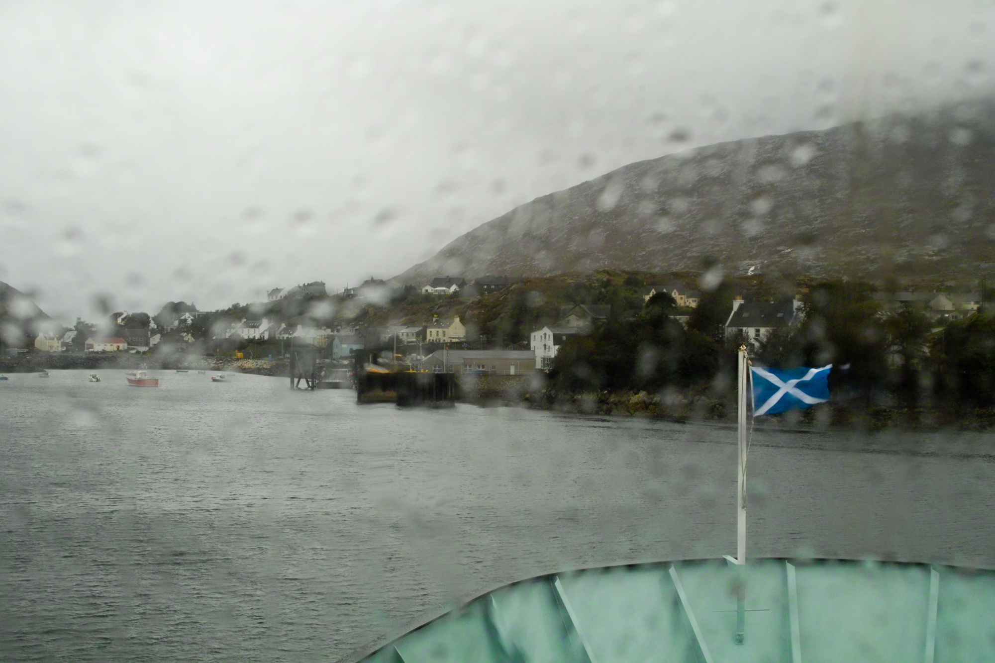
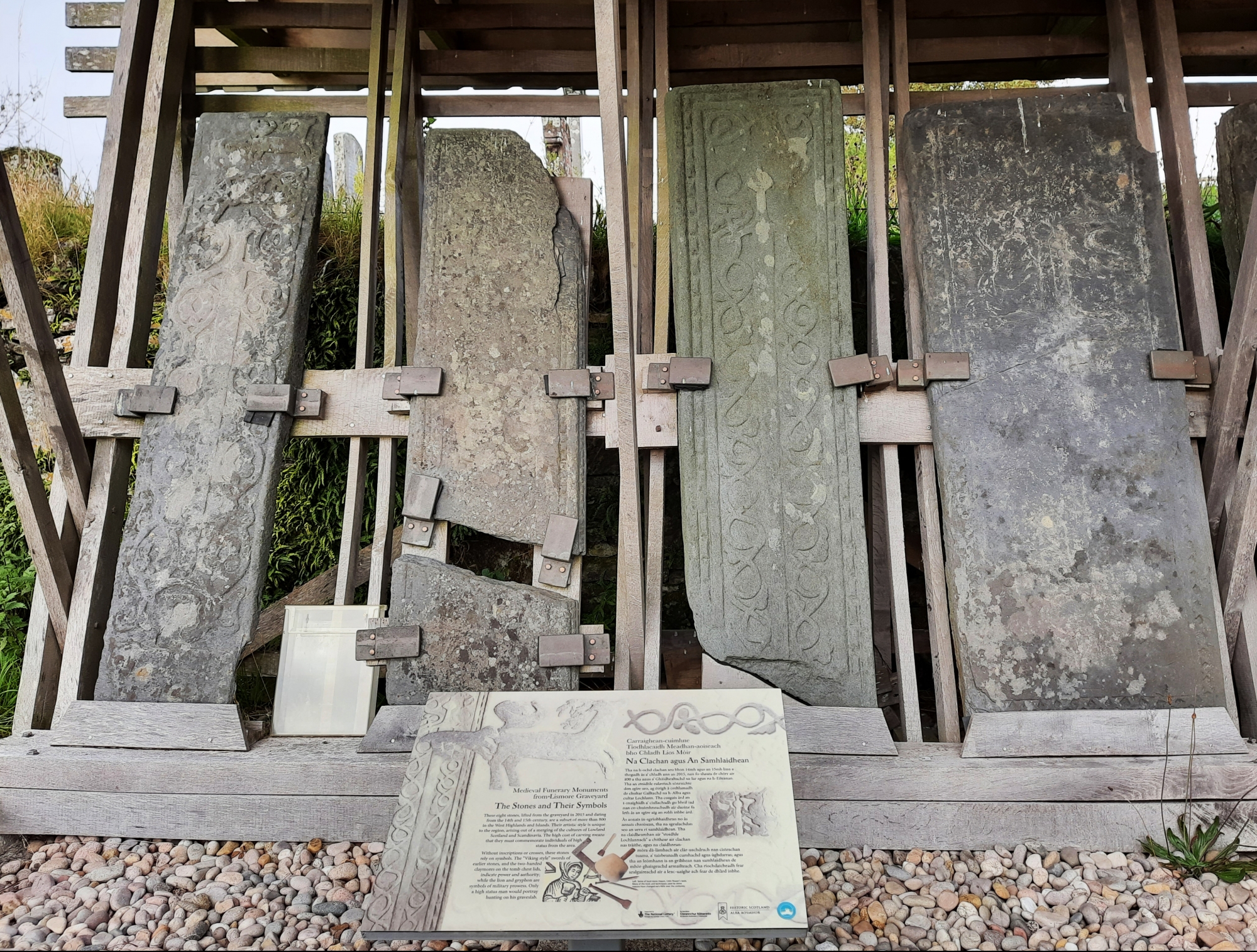
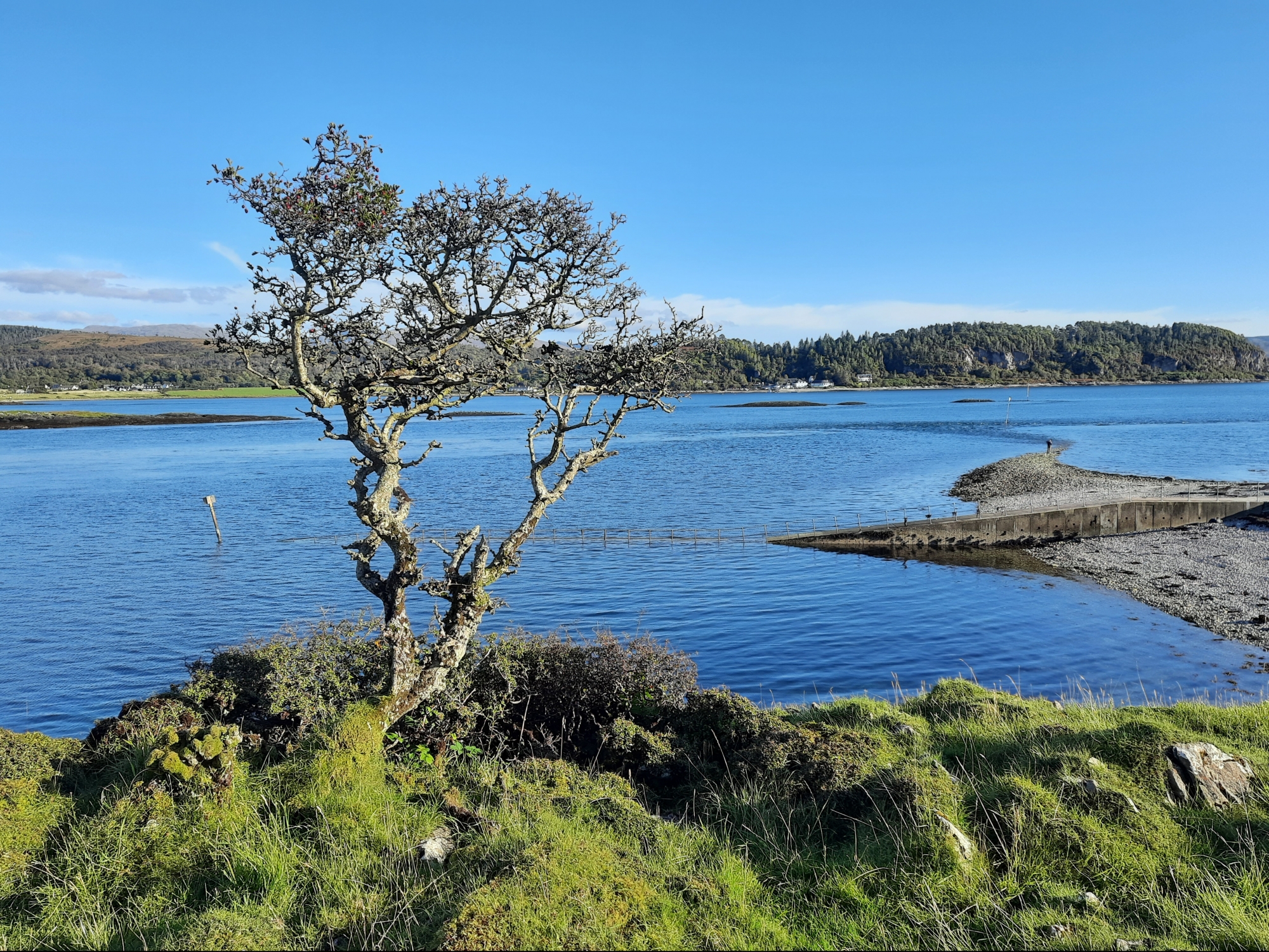
Lismore Lios Mòr ⛴ 2020👪︎ 192🏠︎ 93
The original intention was to camp at Lismore Bunkhouse, but increases to COVID-19 restrictions meant this wasn’t feasible. We did, however, manage to get to the island for a socially-distanced day trip. Cycling down past the island shop and Gaelic Heritage Centre, we made our way to ‘Point’, where the Port Appin ferry departs. It was there I was asked for a lend of my phone, from who turned out to be Claire, the owner of the Bunkhouse! A nice chat ensued, where I learnt everyting from the concern of the aging population about the pandemic to their planting of 19,000 trees around the bunkhouse and the naturally nutrient poor lochans of the island. After a great day exploring, a stunning, sunny cycle back to Achnacroish capped off a memorable day.
PS Despite having no population in 2011, after a purchase in 2012 Shuna (not the one in the Slate Islands) now has a population of 2, and even Eilean nan Caorach (‘Sheep Island’) had a fleeting population of 1 as a kayaker had a little explore as I was there.
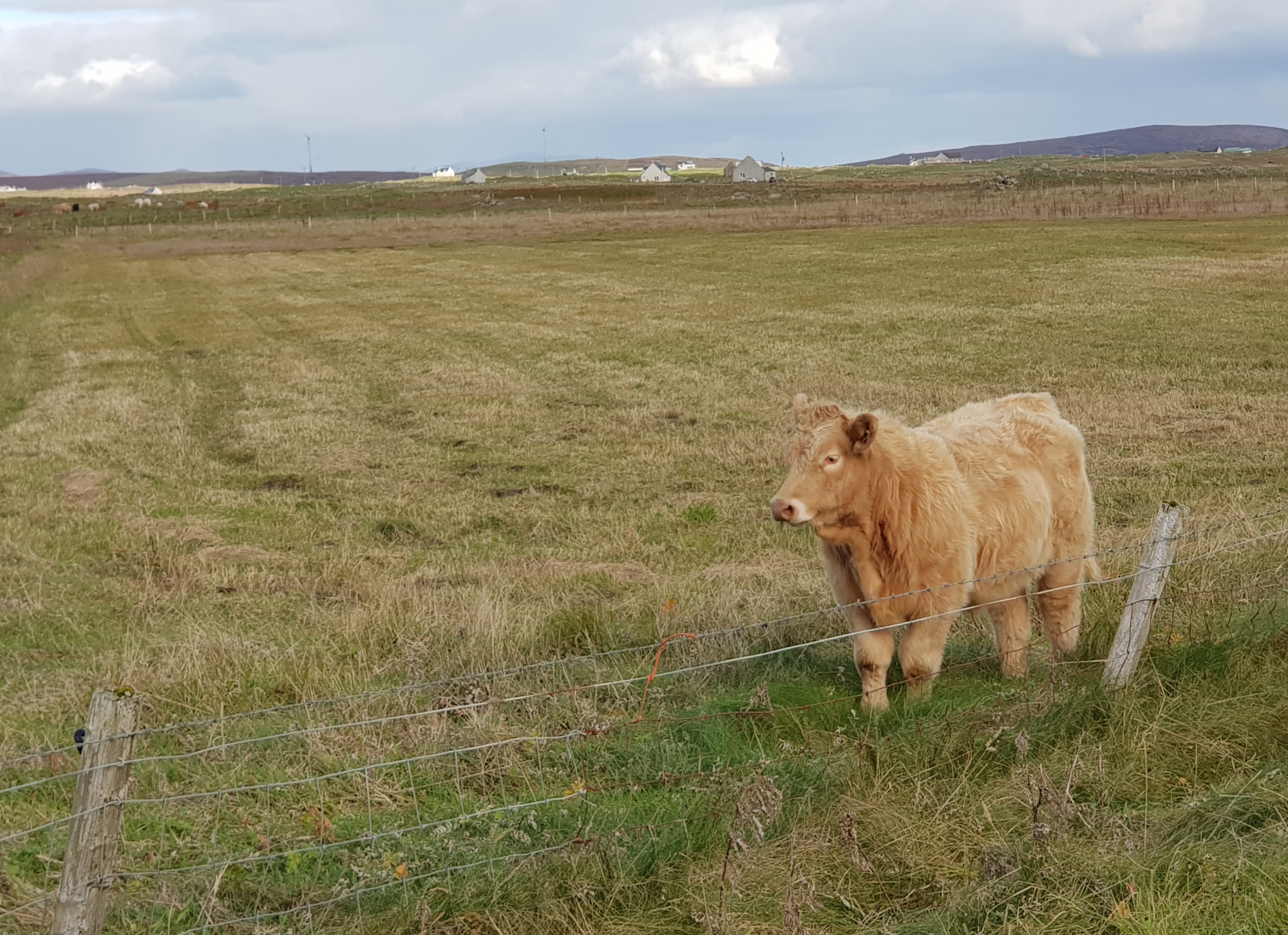
Luing Luinn ⛴ 2021👪︎ 195🏠︎ 98
Luing was reached via a ferry with an unusual sideways docking mechanism, but we slid onto the island without issue. We were advised by the Ferryman to go to the Atlantic Islands Centre, which we’d already got planned, partly due to their use of Spanish slate on their roof to match the local style (the local slate is abundant, but no longer manufuctured / sold). There were a surprising rows of housing in Cuilipool, more akin to a (small) industrial town – it seemed like a nice community, same for the southern village of Toberonochy, which provided a nice walk around the slate cottages and harbour. As we returned to the ferry, our journey was interrupted by a herd of Luing Cattle, whose fame we only discovered on our return. The old ferry, cattle and slate-working can be seen in the Maid of Luing (also linked in the Resources section above).
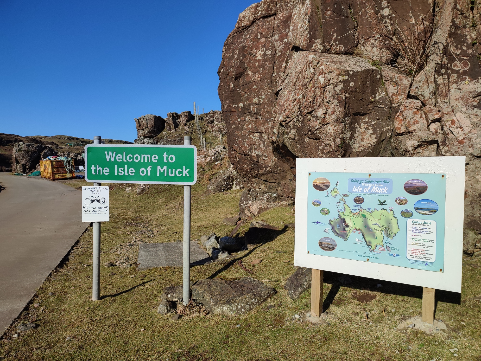
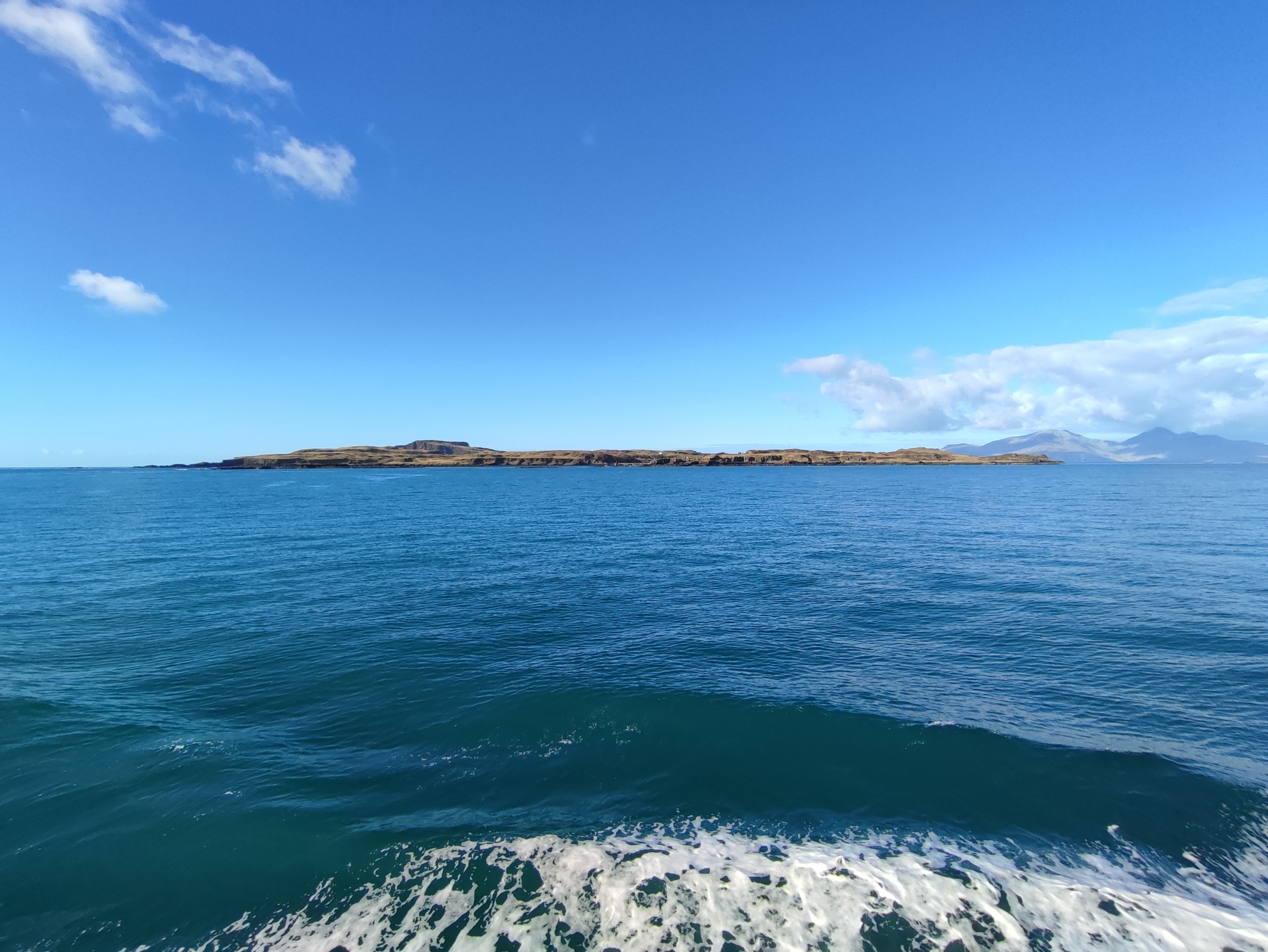
Muck Eilean nam Muc ⛴ 2022👪︎ 27🏠︎ 11
A short hop to Muck in the sunshine showed this island off – the smallest of the 4 main Small Isles. From a distance it looks somewhat small and low-lying, but there’s a rugged side to it, particularly the south end, which is only really apparent on closer inspection. Our first attempt to dock 5 days earlier was scuppered by a heavy swell – the crossing to Muck is the most treacherous and therefore leaves the island more disconnected than its neighbours. There’s no shop, but this disconnected spirit leads the islanders to order their own food in bulk as well as making use of the local wildlife – mainly birds and deer – to supplement the diet and income of the island. This hunting perhaps contrasts the eco-conscious sentiments of its neighbour Eigg, which has recently been cemented with a large fish-farming investment. Unusually for the area and population of the island, it has no postbox – perhaps being cut off is a bit of a raison d’être for the islanders. On a sunny day, however, the turquoise waters and rugged rock faces make the island an intriguing site to explore.
Mull Muile ⛴ 2017👪︎ 2800🏠︎ 1271
Mull is wilder than I expected. I’d always thought of it as the ‘easy one’ to get to (perhaps now eclipsed by Skye), but it offers a great island experience, with plenty of untouched corners. It’s also the gateway to a bunch of smaller islands, all of which I’d highly recommend visiting. Ben More (A’ Bheinn Mhòr) rises high towards the west coast, with otters and sea eagles common sights on the surrounding shores – or so I hear, I’ve only seen seals! The cycle from Ears Fors Waterfall (Waterfall Waterfall Waterfall) > Torlisk > Dervaig > Tobermory is a varied delight.
North Uist Uibhist a Tuath ⛴ 2019👪︎ 1254🏠︎ 608
My legs were really tiring on the undulating roads of the west of the island, and just as I was losing faith a van pulled up… “Phil?” – it started to feel like my prayers had actually been answered, but it turned out I was just the only cyclist booked in to the Tractor Shed and was recognised purely by my transport choice. This interaction really helped though – despite bad weather, my trip up N. Uist was assisted by local ‘bus’ (van), which took me, and otherwise all locals, up to Lochmaddy and then Berneray. Compared to S. Uist, it cut a bleak figure, but that’s probably very weather dependant, and the bleakness was offset somewhat by the warmth of my own peat fire outside my camping pod. Next time, the short trip to Balranald will be top of the list.
Oronsay Orasaigh ⛴ 2021👪︎ 8🏠︎ 4
Oronsay (or Oransay as it’s known locally) is a tidal island accessible from the southern shore of Colonsay by crossing The Strand. My timing wasn’t great – the first two days were deemed ‘no good’ by the tide times posted at the Post Office, but the last day presented a brief chance to cross and get to the Priory and back without getting too wet. Following in the footsteps of Pilgrims, this route was well-trodden by those with a religious mission or supporting a funeral procession for many centuries before. The walk over (in bare feet) and, shoes on, then following the track riddled with standing stones and hermitages, ending in the Priory with an impressive collection of ancient crosses and gravestones. The smaller of the two ancient crosses has a mystical value that’s hard to explain, but it made the journey worthwhile and gave the trip a strange sense of accomplishment, echoed by fellow travellers on the da, all walking in the steps of our ancestors.
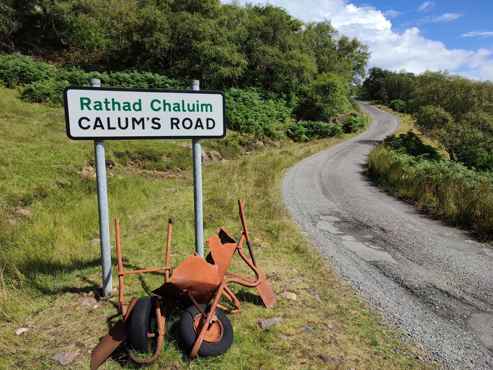
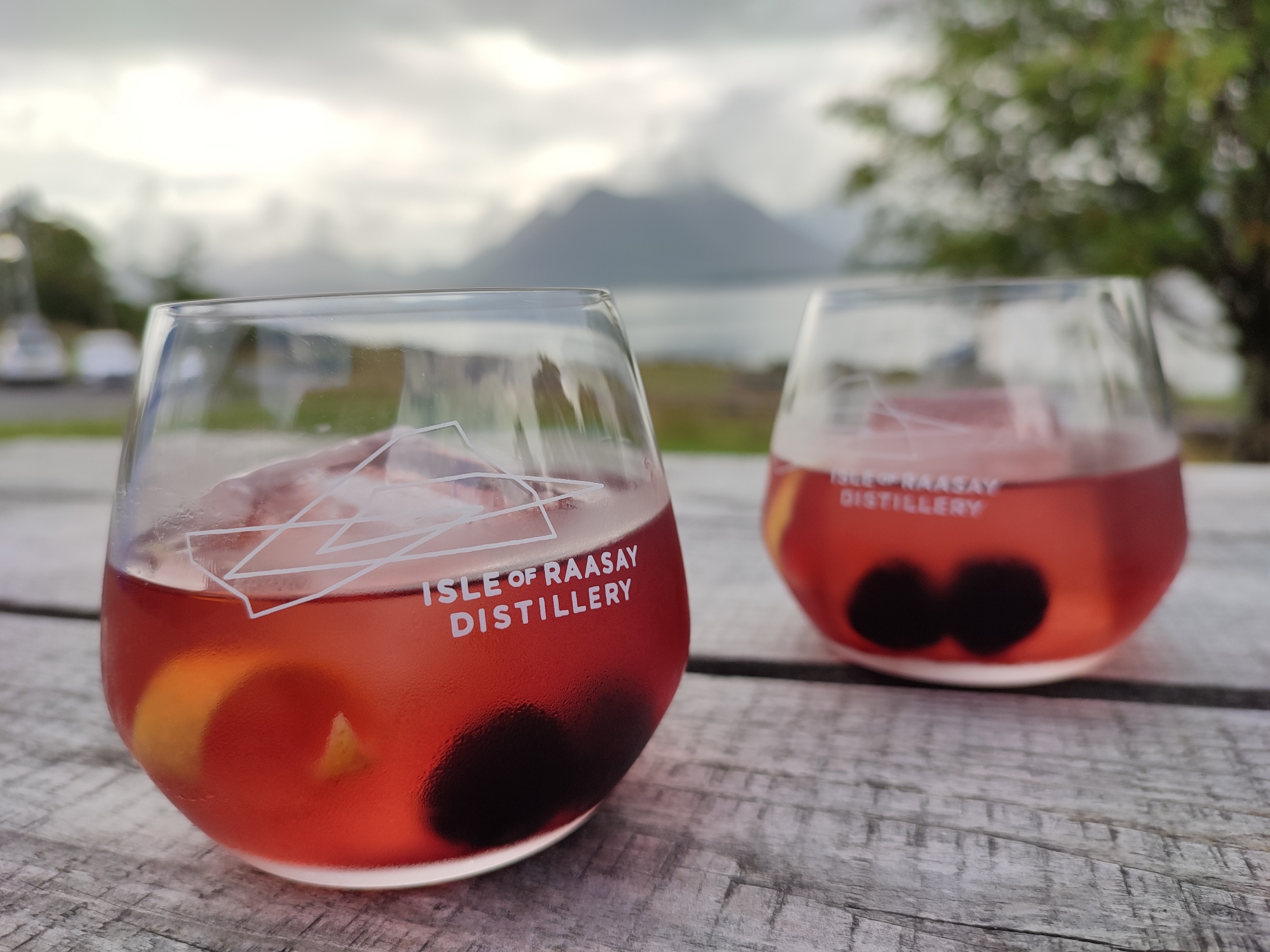
Raasay Ratharsair ⛴ 2021👪︎ 161🏠︎ 77
An opportunistic weekend away right at the end of COVID-19 restrictions, a long drive up was rewarded with a 2 night stay in the wonderful distillery hotel. The island is more diverse than you might expect and offers amazing views across to Skye and Applecross on the mainland. The ruined but impressive Brochel Castle commands the north-eastern shore and the start of Calum’s Road [also listen to topical play], whose story sums up lots of Raasay’s recent history. The now-thriving distillery has provided 25 new jobs (70% held by locals) and together with the nearby and newly-renovated Raasay House showcases a promising future for the island and its people.
I made a video of my latest trip to Raasay, something slightly different.
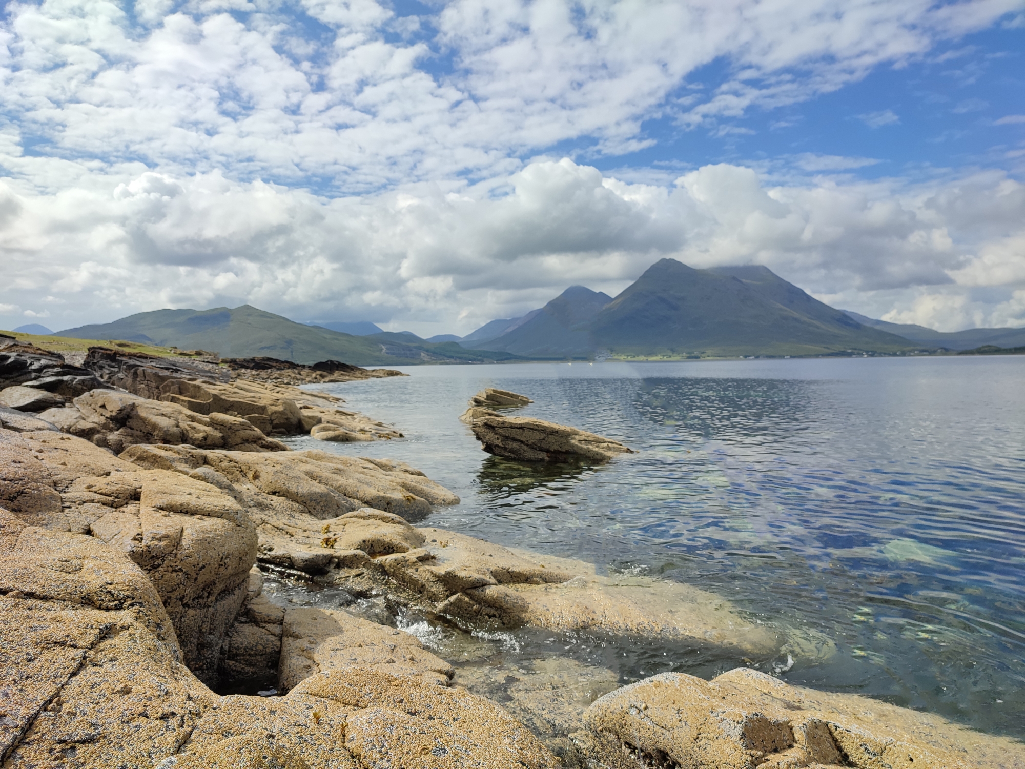
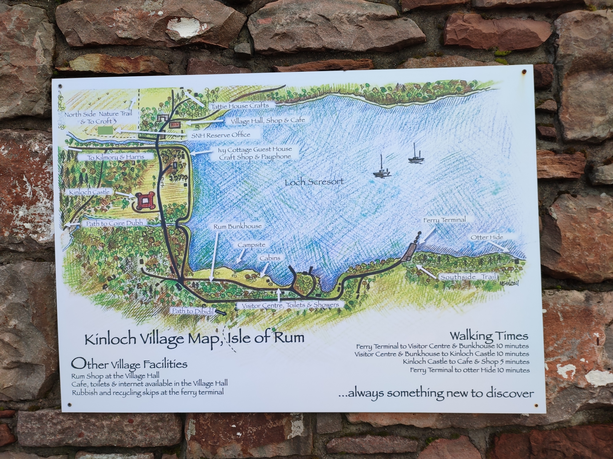
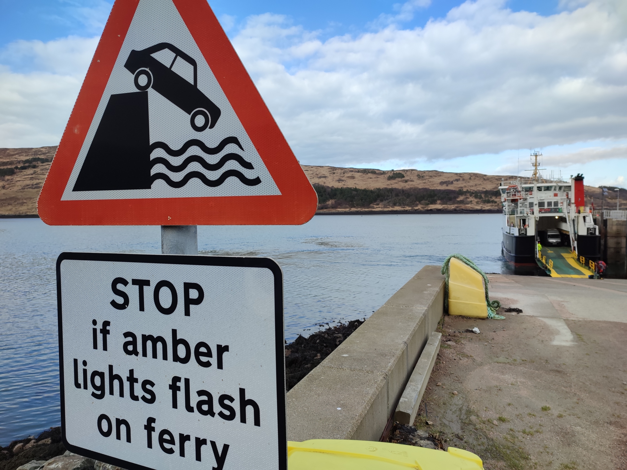
Rùm Rùm ⛴ 2022👪︎ 22🏠︎ 9
Rùm was giving us a glorious, sunny view of its Cuillin all week across from Eigg, although most mornings offered a dusting of snow striated across the higher peaks. The island isn’t all hills but it can definitely appear that way, it’s definitely the wildest and least traversible of the Small Isles with Askival rising to 812m – making it the 3rd highest island in the Hebrides. Although the winter’s weather was generally calm around our visit, it closed in on approach and highlighted its rugged nature, which is home to red deer, mountain goats and recently introduced sea eagles. The red sandstone pile of Kinloch Castle dominated the main settlement and sheltered bay in the east, whereas the associated Bullough Mausoleum in the southwest is situated on less topographically challenging land, but still an unexpected place for classical Greek architecture. Despite this prior rule of / reliance on the Bullough family, the island is now owned and maintained by NatureScot and recent calls for population diversification have started to be answered.
”
Sanday Sandaigh ⛴ 2022👪︎ 9🏠︎ 3
The tide was on its way out, but the bridge from Canna was still needed to hop over to Sanday, a relatively small island that forms the southern side of the sheletered bay they share. A shrine to fisherfolk greets you as the (new-ish) road takes you up and over a small hill and down into the cluster of houses and old Primary school. Sanday and Canna share similar populations, but as the road winds towards the eastern end of the bay, a somewhat incongruous, deconsecrated Roman Catholic Church greets you. It was later converted into a Gaelic Study Centre at considerable expense, but apparently never used. The road ends at the chruch, but a path continues on past the 6 wind turbines (being installed here) and away to the Sanday Light, a prominent site as the ferry approaches the islands. The fields around had interesting livestock, both Belted Galloway cattle and Kerry Hill sheep, which provided a backdrop to the low-tide footpath (and the old road) back to the bridge, then under to the glorious white sand beach a the northwest of the island. After returning to Canna, locals were crossing across the sands on foot – the more direct route available as the tide fully recedes.
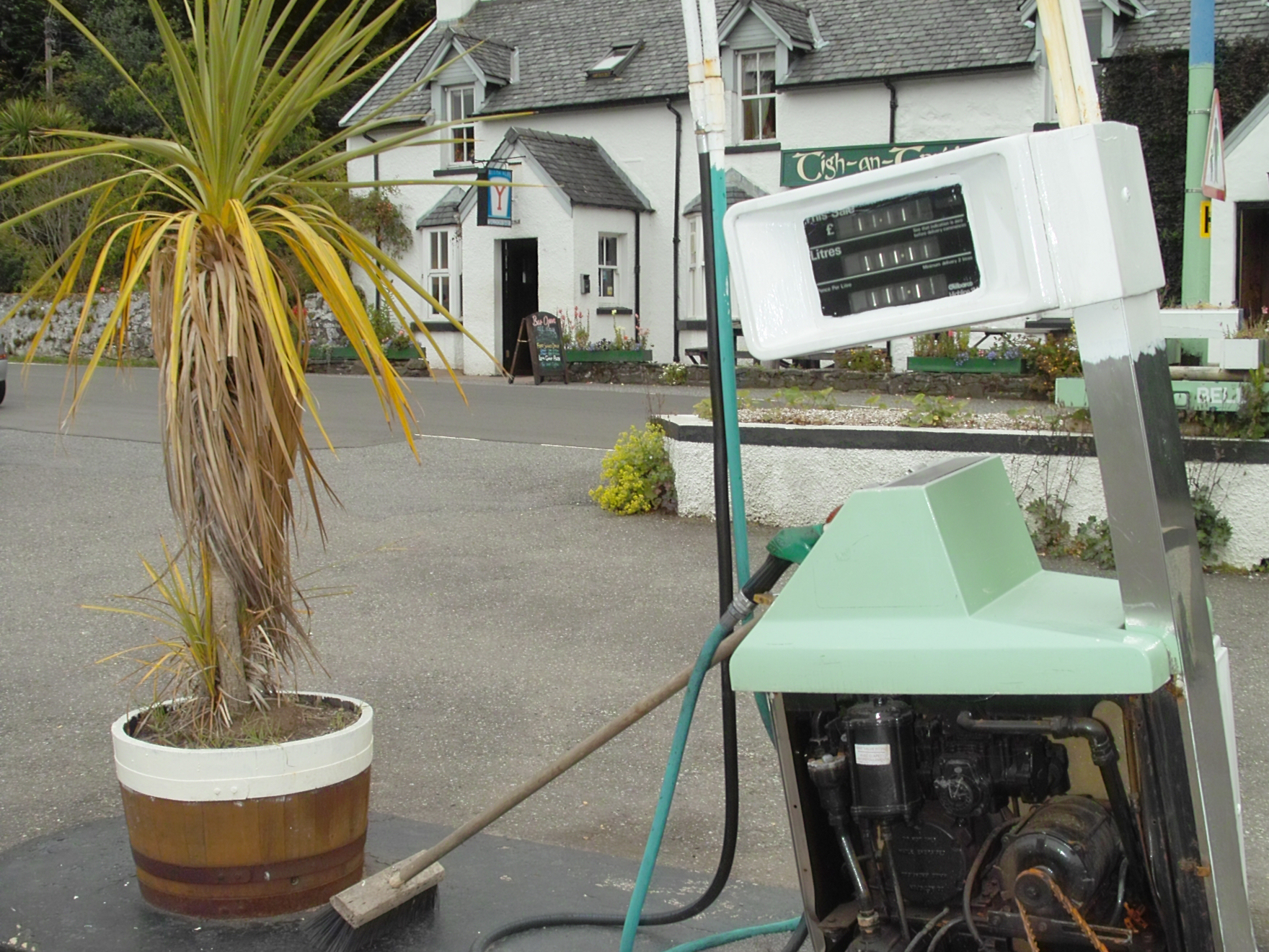
Seil Saoil ⛴ 2008👪︎ 551🏠︎ 252
My very first Hebridean island – although I didn’t really know it at the time. We crossed the ‘Bridge over the Atlantic’ to the Tigh an Truish pub (and very unusual gift shop!), then went to explore this Slate Island. I regret not making it over to Easdale for their stone skimming tournament, but another time…
…that other time transpired when I revisited 13 years later when heading onto Easdale and Seil, re-exploring the route from Clachan Bridge to Ellenabeich, as well as new ground on the road down to Cuan. The weather was impressively grim on both occasions, but I’m sure it looks great in the sun! Still, slate keeps the rain off and all that…
Skye An t-Eilean Sgitheanach ⛴ 2009👪︎ 10008🏠︎ 4453
Skye has enticed me back 4 times since first visiting, its combination of dramatic mountains, weather and wildlife hard to pass up. Well known for it’s popularity with tourists, this issue is easily reduced by visiting Oct-Apr, when tourists and midges are generally replaced with rain! Unlike some of the other Hebridean islands that really shine when the sun comes out, Skye works with wild weather – walk the Quiraing (A’ Chuith-Raing) as the clouds roll in and you’ll be transported to a fantasy world you won’t want to leave.
South Uist Uibhist a Deas ⛴ 2019👪︎ 1754🏠︎ 781
Maybe it’s the books I’ve read, or maybe it’s spending my last night on the islands in the Lochboisdale Hotel, but South Uist really touched me. From the books I’ve read, it has the most exciting hisory, and the mix of modern and neolithic really got to me. Despite a last-minute bike failure, it was idyllic from start to finish. Stay here, if you can – a wonderful spot to explore the island and breathe in the peaks.
Tiree Tiriodh ⛴ 2018👪︎ 653🏠︎ 316
Noticeably flatter than its neighbour to the NE, Tiree is also more populated and ‘built-up’ than Coll. It’s hardly a metropolis, but more the land is worked and utilised thanks to its low profile. This pancake nature brings plenty of wind, which is harnessed by the multitude of windsurfers flocking to the area – only challenged by the peewitting residents who exploit the surrounding farmland.
Ulva Ulbha ⛴ 2019👪︎ 11🏠︎ 6
It’s only 1 minute ferry ride from Mull, but Ulva feels like a different place entirely. Its 800-strong population has long gone, but their presence is felt across the island. Pockets of woodland dot the eastern end of the island, leading to a wilder and more varied terrain towards Gometra. The southern shores were once home to the family of David Livingstone, today this quiet shoreline is a great place to watch otters instead.
Vatersay Bhatarsaigh ⛴ 2018👪︎ 90🏠︎ 38
I took advantage of a small sunny weather window to cycle over to Vatersay from Barra, and the white sand beaches and crystal clear water are particularly breathtaking in this light. It’s the westernmost island in this list, and probably has the most-westerly inhabitants too. Home to both the Vatersay Raiders, the memorial for the wrecked Annie Jane and a crashed Catalina seaplane, it’s an island not short of history either.
And finally..
Leave a comment below on your own progress through the InHab50 list, or follow the action via the #InHab50 hashtag (NB the feed below updates ~once per week):
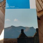
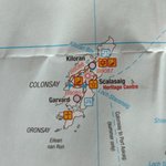
I'd not seen this series from @OrdnanceSurvey before (nor a whole map of Scotland). Designed mostly as 'road touring' maps, they're not my general vibe, but I enjoyed the density of icons on Colonsay - a little explosion of activity!
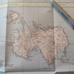
Sometimes it's nice to dig out all your maps and see how a place differs in scale and style across them. Here's exactly that for Muck, inspired after a recent visit - interesting to see what's kept in / out as the scale changes... #InHab50
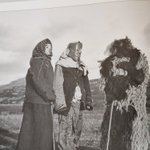
The terrifying Halloween costumes of South Uist (~1920s), taken by the American photographer Margaret Fay Shaw. The notes reference Oidhche nan Cleas (Night of Tricks), the mischievous version of Oidhche Shamhna (Samhain Eve). Pretty poor effort from the🐑 though... #InHab50